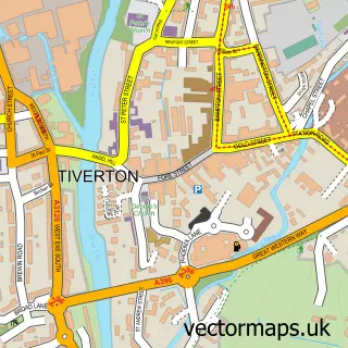
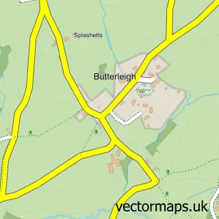
This Bolham street map is a detailed vector street map covering a 750m x 750m area. Select a larger area to create and download your own vector street map of Bolham.
The 750-metre map sample for Bolham covers 62 mapped buildings and approximately 7.9 km of road detail, of which 5 named roads are named. The immediate area includes 1 school, 2 GP surgeries within 2 miles and 10 MOT stations within 2 miles. The wider area around Bolham features 1 tourism point of interest and 2 hotels. To create a larger or custom map of Bolham, the map builder lets you define your own coverage area and download editable SVG, PDF and PNG files.
Create a larger editable map of Bolham
Choose any area you need and generate a high-quality vector map instantly. Perfect for print, planning, design, business and personal use.

This Bolham street map in Devon is available as downloadable SVG, PDF and PNG map files, or as a printed map for planning, business, display, education, local information and design work. You can also create a larger custom map area using the map selector.
What this Bolham map sample shows
Bolham lies within Tiverton Cp parish, part of Castle ward in the Mid Devon District local authority area. The postcode geography for this area includes the EX postcode area, the EX16 postcode district and the EX16 7 postcode sector. Residents fall under the Nhs Devon Integrated Care Board for NHS services.
Local features near Bolham
Within 2 milesAmenities and services in and around Bolham.
Administrative and postcode information for Bolham
The local authority covering Bolham is Mid Devon District, within the county of Devon. The settlement lies within Castle ward and Tiverton Cp civil parish. The EX16 postcode district and EX16 7 postcode sector serve the immediate area. NHS provision in the area is delivered through Royal Devon University Healthcare Nhs Foundation Trust.
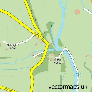
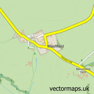
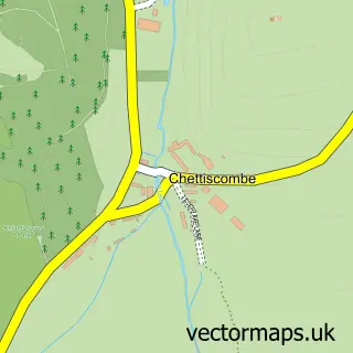
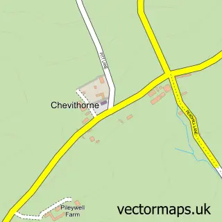
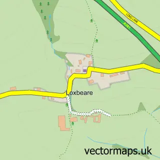
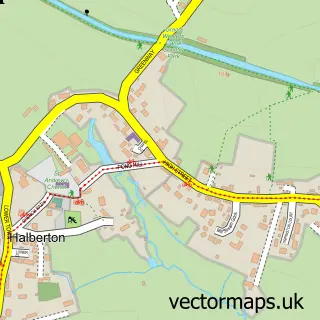
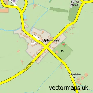
Nearby street map samples around Bolham

More street maps in Devon
750 metre map area coverage
Boundary, postcode and point of interest information for the 750m x 750m rectangle centred on this sample map.
Boundaries containing map centre
Constituency: Tiverton and Minehead Co Const
County: Devon County
District: Mid Devon District
Icb: NHS Devon ICB
Parish: Tiverton CP
Police Force: devon and cornwall
Postcode District: EX16
Postcode Sector: EX16 7
Ward: Clare & Shuttern Ward
Nearby boundaries intersecting sample
Parish: Washfield CP
Postcode Sector: EX16 9
Postcode coverage
POI category counts
Hotel: 2
Toy Store: 2
Beauty And Spa: 1
Beauty Salon: 1
Elementary School: 1
Ev Charging Station: 1
Fitness Trainer: 1
Hot Air Balloons Tour: 1
Landmark And Historical Building: 1
Painting: 1
Sample points of interest
- OMORFIA Medi Aesthetics
- HR Hair & Beauty
- Bolham Primary School
- Roam EV Charging Station
- Shape Personal Training
- Aerosaurus Balloons
- Hartnoll Hotel
- The Hartnoll Hotel
- Bolham, Devon
- P Coker
- Bolham House
- Tarr Steps Exmoor
Create a larger editable map of Bolham
This sample shows only a 750 metre area. To create a larger map of Bolham, use our map builder to choose your own coverage area, add titles and download editable SVG, PDF and PNG files.
Create a custom map of Bolham