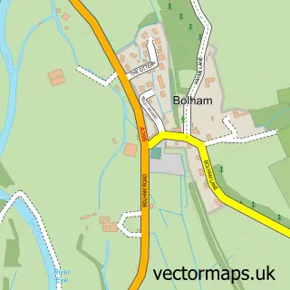
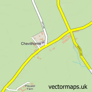
This Tiverton street map is a detailed vector street map covering a 750m x 750m area. Select a larger area to create and download your own vector street map of Tiverton.
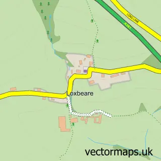
The 750-metre map sample for Tiverton covers 260 mapped buildings and approximately 15.4 km of road detail, of which 38 named roads are named. The immediate area includes 1 school, 1 GP surgery, with 2 within 2 miles, 12 pubs and 3 MOT stations, with 10 within 2 miles. The wider area around Tiverton features 3 tourism points of interest, 43 food and drink venues and 3 hotels. To create a larger or custom map of Tiverton, the map builder lets you define your own coverage area and download editable SVG, PDF and PNG files.
Create a larger editable map of Tiverton
Choose any area you need and generate a high-quality vector map instantly. Perfect for print, planning, design, business and personal use.

This Tiverton street map in Devon is available as downloadable SVG, PDF and PNG map files, or as a printed map for planning, business, display, education, local information and design work. You can also create a larger custom map area using the map selector.
What this Tiverton map sample shows
Tiverton lies within Tiverton Cp parish, part of Lowman ward in the Mid Devon District local authority area. The postcode geography for this area includes the EX postcode area, the EX16 postcode district and the EX16 4 postcode sector. Residents fall under the Nhs Devon Integrated Care Board for NHS services.
Local features near Tiverton
Within 2 milesAmenities and services in and around Tiverton.
Administrative and postcode information for Tiverton
The local authority covering Tiverton is Mid Devon District, within the county of Devon. The settlement lies within Lowman ward and Tiverton Cp civil parish. The EX16 postcode district and EX16 4 postcode sector serve the immediate area. NHS provision in the area is delivered through Royal Devon University Healthcare Nhs Foundation Trust.
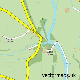
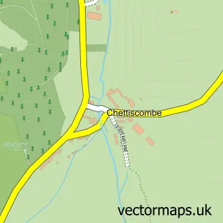
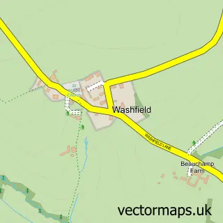
Nearby street map samples around Tiverton

More street maps in Devon
750 metre map area coverage
Boundary, postcode and point of interest information for the 750m x 750m rectangle centred on this sample map.
Boundaries containing map centre
Constituency: Tiverton and Minehead Co Const
County: Devon County
District: Mid Devon District
Icb: NHS Devon ICB
Parish: Tiverton CP
Police Force: devon and cornwall
Postcode District: EX16
Postcode Sector: EX16 6
Ward: Tiverton Castle Ward
Nearby boundaries intersecting sample
Postcode Sector: EX16 4, EX16 5
Ward: Tiverton Cranmore Ward, Tiverton Lowman Ward, Tiverton Westexe Ward
Postcode coverage
POI category counts
Professional Services: 16
Cafe: 15
Hair Salon: 12
Pub: 12
Beauty Salon: 11
Coffee Shop: 10
Bakery: 8
Charity Organization: 8
Convenience Store: 8
Bank Credit Union: 7
Sample points of interest
- Apsleys LLP
- Bray Accountants
- Business Forum Mid Devon
- Paul Steele Ltd - Chartered Accountants
- Withers Steele Chartered Accountants
- Tiverton Portas Company
- James Pryce Tractors Ltd
- Mid-Devon lawnmowers
- Lion House Surgery
- St George & St Paul Tiverton
- St Peter's
- Boutique 37 Antiques
Create a larger editable map of Tiverton
This sample shows only a 750 metre area. To create a larger map of Tiverton, use our map builder to choose your own coverage area, add titles and download editable SVG, PDF and PNG files.
Create a custom map of Tiverton