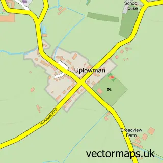
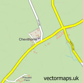
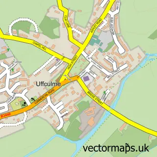
This Halberton street map is a detailed vector street map covering a 750m x 750m area. Select a larger area to create and download your own vector street map of Halberton.
The 750-metre map sample for Halberton covers 189 mapped buildings and approximately 11.8 km of road detail, of which 11 named roads are named. The immediate area includes 1 school, 1 GP surgery within 2 miles, 1 pub and 2 MOT stations within 2 miles. The wider area around Halberton features 2 food and drink venues. To create a larger or custom map of Halberton, the map builder lets you define your own coverage area and download editable SVG, PDF and PNG files.
Create a larger editable map of Halberton
Choose any area you need and generate a high-quality vector map instantly. Perfect for print, planning, design, business and personal use.

This Halberton street map in Devon is available as downloadable SVG, PDF and PNG map files, or as a printed map for planning, business, display, education, local information and design work. You can also create a larger custom map area using the map selector.
What this Halberton map sample shows
Halberton lies within Halberton Cp parish, part of Halberton ward in the Mid Devon District local authority area. The postcode geography for this area includes the EX postcode area, the EX16 postcode district and the EX16 7 postcode sector. Residents fall under the Nhs Devon Integrated Care Board for NHS services.
Local features near Halberton
Within 2 milesAmenities and services in and around Halberton.
Administrative and postcode information for Halberton
Halberton lies within Halberton Cp parish, part of Halberton ward in the Mid Devon District local authority area. The postcode geography for this area includes the EX postcode area, the EX16 postcode district and the EX16 7 postcode sector. Residents fall under the Nhs Devon Integrated Care Board for NHS services.
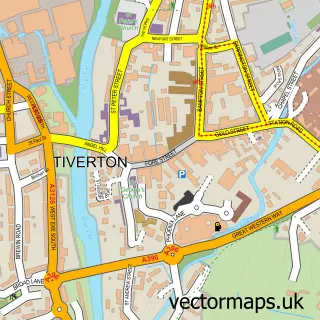
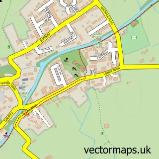
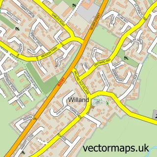
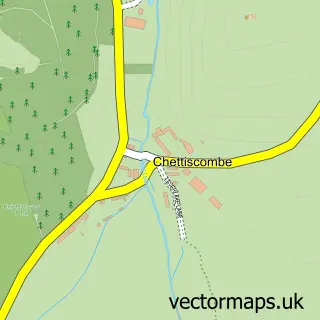
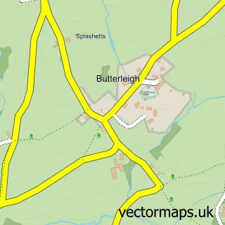
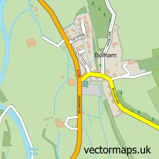
Nearby street map samples around Halberton

More street maps in Devon
750 metre map area coverage
Boundary, postcode and point of interest information for the 750m x 750m rectangle centred on this sample map.
Boundaries containing map centre
Constituency: Tiverton and Minehead Co Const
County: Devon County
District: Mid Devon District
Icb: NHS Devon ICB
Parish: Halberton CP
Police Force: devon and cornwall
Postcode District: EX16
Postcode Sector: EX16 7
Ward: Halberton Ward
Nearby boundaries intersecting sample
No additional intersecting boundaries found.
Postcode coverage
POI category counts
Building Supply Store: 2
Church Cathedral: 2
Elementary School: 2
Post Office: 2
Alternative Medicine: 1
Anglican Church: 1
Bed And Breakfast: 1
Cafe: 1
Carpenter: 1
Education: 1
Sample points of interest
- Time for YOU Treatments
- St Andrew
- Piper Cottage Holiday Home
- Mobalpa
- Third Millennium Energy
- The Swans Neck Cafe
- Devonshire Woodworks
- Halberton Methodist Church
- St Andrews Church Halberton
- Education Matters
- Halberton Primary School
- Halberton Primary School
Create a larger editable map of Halberton
This sample shows only a 750 metre area. To create a larger map of Halberton, use our map builder to choose your own coverage area, add titles and download editable SVG, PDF and PNG files.
Create a custom map of Halberton