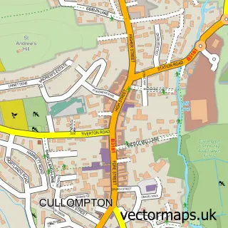
This Willand street map is a detailed vector street map covering a 750m x 750m area. Select a larger area to create and download your own vector street map of Willand.
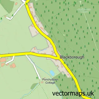
The 750-metre map sample for Willand covers 523 mapped buildings and approximately 17.0 km of road detail, of which 32 named roads are named. The immediate area includes 1 GP surgery within 2 miles and 8 MOT stations within 2 miles. The wider area around Willand features 1 campsite within 2 miles. To create a larger or custom map of Willand, the map builder lets you define your own coverage area and download editable SVG, PDF and PNG files.
Create a larger editable map of Willand
Choose any area you need and generate a high-quality vector map instantly. Perfect for print, planning, design, business and personal use.

This Willand street map in Devon is available as downloadable SVG, PDF and PNG map files, or as a printed map for planning, business, display, education, local information and design work. You can also create a larger custom map area using the map selector.
What this Willand map sample shows
Willand lies within Willand Cp parish, part of Lower Culm ward in the Mid Devon District local authority area. The postcode geography for this area includes the EX postcode area, the EX15 postcode district and the EX15 2 postcode sector. Residents fall under the Nhs Devon Integrated Care Board for NHS services.
Local features near Willand
Within 2 milesAmenities and services in and around Willand.
Administrative and postcode information for Willand
The local authority covering Willand is Mid Devon District, within the county of Devon. The settlement lies within Lower Culm ward and Willand Cp civil parish. The EX15 postcode district and EX15 2 postcode sector serve the immediate area. NHS provision in the area is delivered through Royal Devon University Healthcare Nhs Foundation Trust.
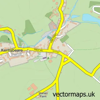
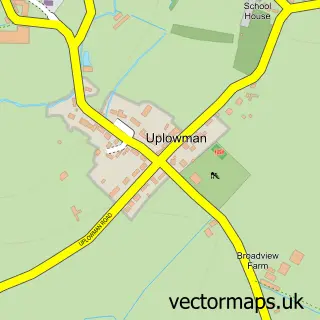
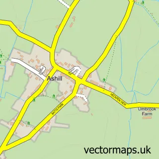
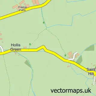
Nearby street map samples around Willand

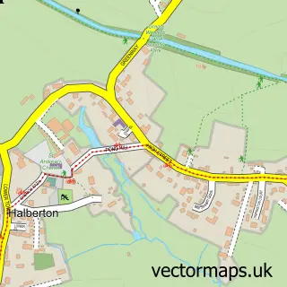
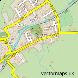
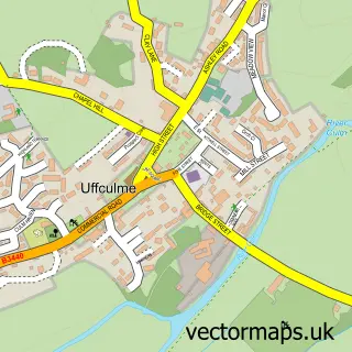
More street maps in Devon
750 metre map area coverage
Boundary, postcode and point of interest information for the 750m x 750m rectangle centred on this sample map.
Boundaries containing map centre
Constituency: Tiverton and Minehead Co Const
County: Devon County
District: Mid Devon District
Icb: NHS Devon ICB
Parish: Willand CP
Police Force: devon and cornwall
Postcode District: EX15
Postcode Sector: EX15 2
Ward: Lower Culm Ward
Nearby boundaries intersecting sample
No additional intersecting boundaries found.
Postcode coverage
POI category counts
Sports Club And League: 3
Church Cathedral: 2
Clothing Store: 2
Anglican Church: 1
Arts And Entertainment: 1
Beauty And Spa: 1
Bicycle Shop: 1
Community Center: 1
Community Services Non Profits: 1
Currency Exchange: 1
Sample points of interest
- The friendly parish church in Willand
- Jon Lycett-smith
- Nuova Aesthetics
- The Bike Stop Willand
- Messy Church Willand
- St Mary's Church
- Evolution Leggings
- Zunzun
- Willand Village Hall
- Willand Tiny Tots
- Post Office Travel Money
- Willand School
Create a larger editable map of Willand
This sample shows only a 750 metre area. To create a larger map of Willand, use our map builder to choose your own coverage area, add titles and download editable SVG, PDF and PNG files.
Create a custom map of Willand