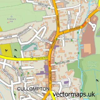
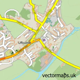
This Sampford Peverell street map is a detailed vector street map covering a 750m x 750m area. Select a larger area to create and download your own vector street map of Sampford Peverell.
The 750-metre map sample for Sampford Peverell covers 264 mapped buildings and approximately 10.7 km of road detail, of which 15 named roads are named. The immediate area includes 1 GP surgery, 1 pub and 3 MOT stations within 2 miles. The wider area around Sampford Peverell features 3 food and drink venues, 1 hotel and 1 campsite within 2 miles. To create a larger or custom map of Sampford Peverell, the map builder lets you define your own coverage area and download editable SVG, PDF and PNG files.
Create a larger editable map of Sampford Peverell
Choose any area you need and generate a high-quality vector map instantly. Perfect for print, planning, design, business and personal use.

This Sampford Peverell street map in Devon is available as downloadable SVG, PDF and PNG map files, or as a printed map for planning, business, display, education, local information and design work. You can also create a larger custom map area using the map selector.
What this Sampford Peverell map sample shows
Sampford Peverell lies within Sampford Peverell Cp parish, part of Canonsleigh ward in the Mid Devon District local authority area. The postcode geography for this area includes the EX postcode area, the EX16 postcode district and the EX16 7 postcode sector. Residents fall under the Nhs Devon Integrated Care Board for NHS services.
Local features near Sampford Peverell
Within 2 milesAmenities and services in and around Sampford Peverell.
Administrative and postcode information for Sampford Peverell
The local authority covering Sampford Peverell is Mid Devon District, within the county of Devon. The settlement lies within Canonsleigh ward and Sampford Peverell Cp civil parish. The EX16 postcode district and EX16 7 postcode sector serve the immediate area. NHS provision in the area is delivered through Royal Devon University Healthcare Nhs Foundation Trust.
Nearby street map samples around Sampford Peverell


More street maps in Devon
750 metre map area coverage
Boundary, postcode and point of interest information for the 750m x 750m rectangle centred on this sample map.
Boundaries containing map centre
Constituency: Tiverton and Minehead Co Const
County: Devon County
District: Mid Devon District
Icb: NHS Devon ICB
Parish: Sampford Peverell CP
Police Force: devon and cornwall
Postcode District: EX16
Postcode Sector: EX16 7
Ward: Canonsleigh Ward
Nearby boundaries intersecting sample
No additional intersecting boundaries found.
Postcode coverage
POI category counts
Convenience Store: 2
Post Office: 2
Shipping Center: 2
Anglican Church: 1
Auto Electrical Repair: 1
Building Supply Store: 1
Business Management Services: 1
Canal: 1
Civil Engineers: 1
Coffee Shop: 1
Sample points of interest
- St John the Baptist
- S O L Electrical
- SOL Electrical
- Measure2improve Ltd.
- Grand Western Canal
- Xeiad Ltd.
- Costa Coffee
- SPAR Sampford Peverell
- SPAR Sampford Peverell
- Sampford Peverell Cricket Ground
- Sampford Peverell Surgery
- SOL Electrical
Create a larger editable map of Sampford Peverell
This sample shows only a 750 metre area. To create a larger map of Sampford Peverell, use our map builder to choose your own coverage area, add titles and download editable SVG, PDF and PNG files.
Create a custom map of Sampford Peverell