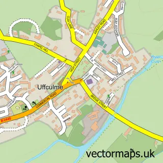
This Westleigh street map is a detailed vector street map covering a 750m x 750m area. Select a larger area to create and download your own vector street map of Westleigh.
The 750-metre map sample for Westleigh covers 134 mapped buildings and approximately 8.9 km of road detail, of which 2 named roads are named. The immediate area includes 2 MOT stations within 2 miles. The wider area around Westleigh features 1 campsite within 2 miles. To create a larger or custom map of Westleigh, the map builder lets you define your own coverage area and download editable SVG, PDF and PNG files.
Create a larger editable map of Westleigh
Choose any area you need and generate a high-quality vector map instantly. Perfect for print, planning, design, business and personal use.

This Westleigh street map in Devon is available as downloadable SVG, PDF and PNG map files, or as a printed map for planning, business, display, education, local information and design work. You can also create a larger custom map area using the map selector.
What this Westleigh map sample shows
Westleigh lies within Burlescombe Cp parish, part of Canonsleigh ward in the Mid Devon District local authority area. The postcode geography for this area includes the EX postcode area, the EX16 postcode district and the EX16 7 postcode sector. Residents fall under the Nhs Devon Integrated Care Board for NHS services.
Local features near Westleigh
Within 2 milesAmenities and services in and around Westleigh.
Administrative and postcode information for Westleigh
Westleigh lies within Burlescombe Cp parish, part of Canonsleigh ward in the Mid Devon District local authority area. The postcode geography for this area includes the EX postcode area, the EX16 postcode district and the EX16 7 postcode sector. Residents fall under the Nhs Devon Integrated Care Board for NHS services.
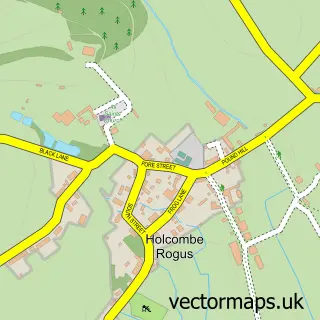
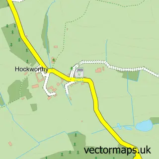
Nearby street map samples around Westleigh


More street maps in Devon
750 metre map area coverage
Boundary, postcode and point of interest information for the 750m x 750m rectangle centred on this sample map.
Boundaries containing map centre
Constituency: Tiverton and Minehead Co Const
County: Devon County
District: Mid Devon District
Icb: NHS Devon ICB
Parish: Burlescombe CP
Police Force: devon and cornwall
Postcode District: EX16
Postcode Sector: EX16 7
Ward: Canonsleigh Ward
Nearby boundaries intersecting sample
Parish: Holcombe Rogus CP
Postcode coverage
POI category counts
Audiovisual Equipment Rental: 1
Auto Upholstery: 1
Beauty Salon: 1
Church Cathedral: 1
Hair Salon: 1
Land Surveying: 1
Plumbing: 1
Professional Services: 1
Retail: 1
Web Designer: 1
Sample points of interest
- MGF
- The Curtain Co
- Lace Cottage Ethical Beauty
- Westleigh United Reformed Church
- Devon Wedding Hair
- Anthony Brookes Surveys
- J.R. Ward Ltd
- Bardon Aggregates
- My Fabulous Life Photography
- Featherkite
Create a larger editable map of Westleigh
This sample shows only a 750 metre area. To create a larger map of Westleigh, use our map builder to choose your own coverage area, add titles and download editable SVG, PDF and PNG files.
Create a custom map of Westleigh