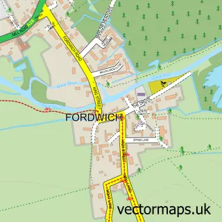
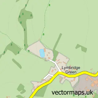
This Bossingham street map is a detailed vector street map covering a 750m x 750m area. Select a larger area to create and download your own vector street map of Bossingham.
The 750-metre map sample for Bossingham covers 145 mapped buildings and approximately 7.1 km of road detail, of which 6 named roads are named. To create a larger or custom map of Bossingham, the map builder lets you define your own coverage area and download editable SVG, PDF and PNG files.
Create a larger editable map of Bossingham
Choose any area you need and generate a high-quality vector map instantly. Perfect for print, planning, design, business and personal use.

This Bossingham street map in Kent is available as downloadable SVG, PDF and PNG map files, or as a printed map for planning, business, display, education, local information and design work. You can also create a larger custom map area using the map selector.
What this Bossingham map sample shows
Bossingham lies within Upper Hardres Cp parish, part of Chartham & Stone Street ward in the Canterbury District (B) local authority area. The postcode geography for this area includes the CT postcode area, the CT4 postcode district and the CT4 6 postcode sector. Residents fall under the Nhs Kent And Medway Integrated Care Board for NHS services.
Administrative and postcode information for Bossingham
The local authority covering Bossingham is Canterbury District (B), within the county of Kent. The settlement lies within Chartham & Stone Street ward and Upper Hardres Cp civil parish. The CT4 postcode district and CT4 6 postcode sector serve the immediate area. NHS provision in the area is delivered through East Kent Hospitals University Nhs Foundation Trust.
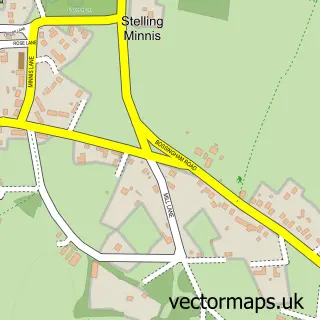
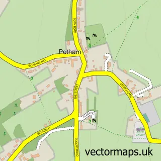
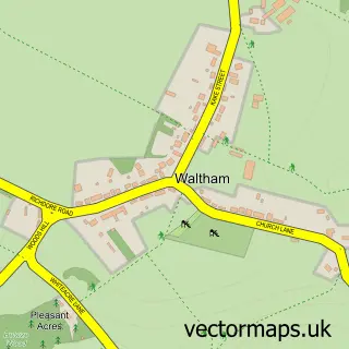
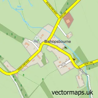
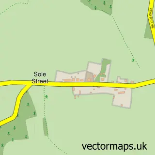
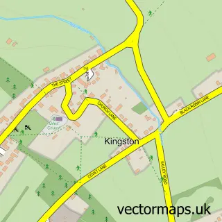
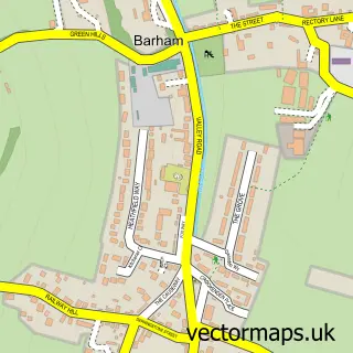
Nearby street map samples around Bossingham

More street maps in Kent
750 metre map area coverage
Boundary, postcode and point of interest information for the 750m x 750m rectangle centred on this sample map.
Boundaries containing map centre
Constituency: Canterbury Co Const
County: Kent County
District: Canterbury District (B)
Icb: NHS Kent and Medway ICB
Parish: Upper Hardres CP
Police Force: kent
Postcode District: CT4
Postcode Sector: CT4 6
Ward: Chartham & Stone Street Ward
Nearby boundaries intersecting sample
Constituency: Ashford Co Const
District: Folkestone and Hythe District
Parish: Stelling Minnis CP
Ward: North Downs West Ward
Postcode coverage
POI category counts
Advertising Agency: 1
Community Center: 1
Flowers And Gifts Shop: 1
Gastropub: 1
Scout Hall: 1
Veterinarian: 1
Sample points of interest
- Lemon Creative
- Bossingham Village Hall
- Country Blooms
- Hop Pocket
- Stelling and Upper Hardres
- Kings Pet Services
Create a larger editable map of Bossingham
This sample shows only a 750 metre area. To create a larger map of Bossingham, use our map builder to choose your own coverage area, add titles and download editable SVG, PDF and PNG files.
Create a custom map of Bossingham