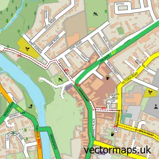
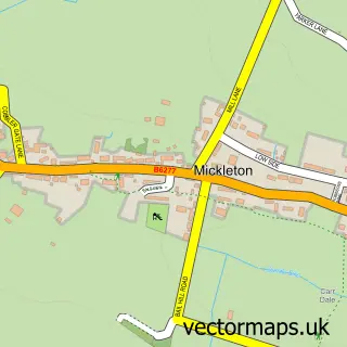
This Bowes street map is a detailed vector street map covering a 750m x 750m area. Select a larger area to create and download your own vector street map of Bowes.
The 750-metre map sample for Bowes covers 81 mapped buildings and approximately 11.9 km of road detail, of which 3 named roads are named. The immediate area includes 1 school and 1 pub. The wider area around Bowes features 4 tourism points of interest, 1 food and drink venue and 1 hotel. To create a larger or custom map of Bowes, the map builder lets you define your own coverage area and download editable SVG, PDF and PNG files.
Create a larger editable map of Bowes
Choose any area you need and generate a high-quality vector map instantly. Perfect for print, planning, design, business and personal use.

This Bowes street map in Durham is available as downloadable SVG, PDF and PNG map files, or as a printed map for planning, business, display, education, local information and design work. You can also create a larger custom map area using the map selector.
What this Bowes map sample shows
Bowes lies within Bowes Cp parish, part of Barnard Castle West ward in the County Durham local authority area. The postcode geography for this area includes the DL postcode area, the DL12 postcode district and the DL12 9 postcode sector. Residents fall under the Nhs North East And North Cumbria Integrated Care Board for NHS services.
Local features near Bowes
Within 2 milesAmenities and services in and around Bowes.
Administrative and postcode information for Bowes
Bowes lies within Bowes Cp parish, part of Barnard Castle West ward in the County Durham local authority area. The postcode geography for this area includes the DL postcode area, the DL12 postcode district and the DL12 9 postcode sector. Residents fall under the Nhs North East And North Cumbria Integrated Care Board for NHS services.
Nearby street map samples around Bowes

More street maps in Durham
750 metre map area coverage
Boundary, postcode and point of interest information for the 750m x 750m rectangle centred on this sample map.
Boundaries containing map centre
Constituency: Bishop Auckland Co Const
District: County Durham
Icb: NHS North East and North Cumbria ICB
Parish: Bowes CP
Police Force: durham
Postcode District: DL12
Postcode Sector: DL12 9
Nearby boundaries intersecting sample
No additional intersecting boundaries found.
Postcode coverage
POI category counts
Castle: 2
Post Office: 2
Anglican Church: 1
Campground: 1
Elementary School: 1
Gym: 1
High School: 1
Hotel: 1
Kids Recreation And Party: 1
Landmark And Historical Building: 1
Sample points of interest
- St Giles Church
- The Old Armoury
- Bowes Castle
- Bowes Castle
- Bowes Hutchinsons C of E V/A Primary School
- Lifestyle Fitness
- Wyedean School and Sixth Form Centre
- The Ancient Unicorn Hotel
- Sports And Sporting Ltd.
- Lavatrae
- Bowes Post Office
- Post Office-Bowes
Create a larger editable map of Bowes
This sample shows only a 750 metre area. To create a larger map of Bowes, use our map builder to choose your own coverage area, add titles and download editable SVG, PDF and PNG files.
Create a custom map of Bowes