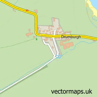
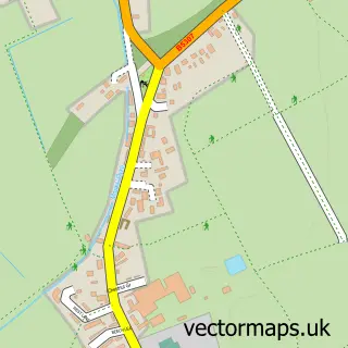
This Bowness-on-Solway street map is a detailed vector street map covering a 750m x 750m area. Select a larger area to create and download your own vector street map of Bowness-on-Solway.
The 750-metre map sample for Bowness-on-Solway covers 82 mapped buildings and approximately 8.1 km of road detail, of which 1 named road are named. The immediate area includes 1 school and 3 pubs. The wider area around Bowness-on-Solway features 1 tourism point of interest, 4 food and drink venues and 2 hotels. To create a larger or custom map of Bowness-on-Solway, the map builder lets you define your own coverage area and download editable SVG, PDF and PNG files.
Create a larger editable map of Bowness-on-Solway
Choose any area you need and generate a high-quality vector map instantly. Perfect for print, planning, design, business and personal use.

This Bowness-on-Solway street map in Cumbria is available as downloadable SVG, PDF and PNG map files, or as a printed map for planning, business, display, education, local information and design work. You can also create a larger custom map area using the map selector.
What this Bowness-on-Solway map sample shows
Bowness-on-Solway lies within Bowness Cp parish, part of Marsh & Wampool ward in the Cumberland local authority area. The postcode geography for this area includes the CA postcode area, the CA7 postcode district and the CA7 5 postcode sector. Residents fall under the Nhs North East And North Cumbria Integrated Care Board for NHS services.
Local features near Bowness-on-Solway
Within 2 milesAmenities and services in and around Bowness-on-Solway.
Administrative and postcode information for Bowness-on-Solway
The local authority covering Bowness-on-Solway is Cumberland, within the county of Cumbria. The settlement lies within Marsh & Wampool ward and Bowness Cp civil parish. The CA7 postcode district and CA7 5 postcode sector serve the immediate area. NHS provision in the area is delivered through North Cumbria Integrated Care Nhs Foundation Trust.
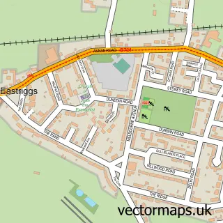
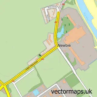
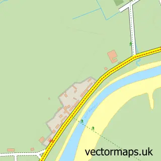
Nearby street map samples around Bowness-on-Solway

More street maps in Cumbria
750 metre map area coverage
Boundary, postcode and point of interest information for the 750m x 750m rectangle centred on this sample map.
Boundaries containing map centre
Constituency: Penrith and Solway Co Const
District: Cumberland
Icb: NHS North East and North Cumbria ICB
Parish: Bowness CP
Police Force: cumbria
Postcode District: CA7
Postcode Sector: CA7 5
Ward: Solway Coast Ward
Nearby boundaries intersecting sample
No additional intersecting boundaries found.
Postcode coverage
POI category counts
Bed And Breakfast: 3
Pub: 3
Hotel: 2
Accommodation: 1
Anglican Church: 1
Church Cathedral: 1
Coffee Shop: 1
Elementary School: 1
Farmers Market: 1
Landmark And Historical Building: 1
Sample points of interest
- Wallsend Guest House and Glamping Pods
- St Michael's, Bowness-on-Solway
- Bowness House Farm holiday complex
- Hunter Leisure Motor Homes
- Shore Gate House B&B
- St Michael's Church
- Pear Tree Tearoom
- Bowness On Solway Primary School
- Cumberland Turkey Co
- Hunter Leisure Group Limited
- Wallsend Guest House
- Kastell Maia
Create a larger editable map of Bowness-on-Solway
This sample shows only a 750 metre area. To create a larger map of Bowness-on-Solway, use our map builder to choose your own coverage area, add titles and download editable SVG, PDF and PNG files.
Create a custom map of Bowness-on-Solway