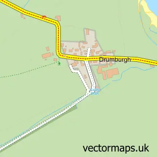
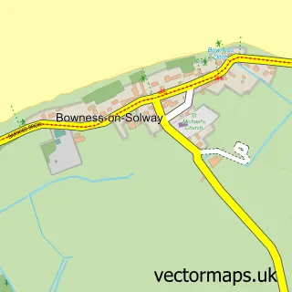
This Kirkbride street map is a detailed vector street map covering a 750m x 750m area. Select a larger area to create and download your own vector street map of Kirkbride.
The 750-metre map sample for Kirkbride covers 104 mapped buildings and approximately 4.0 km of road detail, of which 3 named roads are named. The immediate area includes 1 school, 1 GP surgery and 1 MOT station within 2 miles. The wider area around Kirkbride features 1 tourism point of interest. To create a larger or custom map of Kirkbride, the map builder lets you define your own coverage area and download editable SVG, PDF and PNG files.
Create a larger editable map of Kirkbride
Choose any area you need and generate a high-quality vector map instantly. Perfect for print, planning, design, business and personal use.

This Kirkbride street map in Cumbria is available as downloadable SVG, PDF and PNG map files, or as a printed map for planning, business, display, education, local information and design work. You can also create a larger custom map area using the map selector.
What this Kirkbride map sample shows
Kirkbride lies within Kirkbride Cp parish, part of Marsh & Wampool ward in the Cumberland local authority area. The postcode geography for this area includes the CA postcode area, the CA7 postcode district and the CA7 5 postcode sector. Residents fall under the Nhs North East And North Cumbria Integrated Care Board for NHS services.
Local features near Kirkbride
Within 2 milesAmenities and services in and around Kirkbride.
Administrative and postcode information for Kirkbride
Kirkbride lies within Kirkbride Cp parish, part of Marsh & Wampool ward in the Cumberland local authority area. The postcode geography for this area includes the CA postcode area, the CA7 postcode district and the CA7 5 postcode sector. Residents fall under the Nhs North East And North Cumbria Integrated Care Board for NHS services.
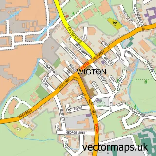
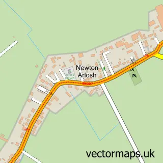
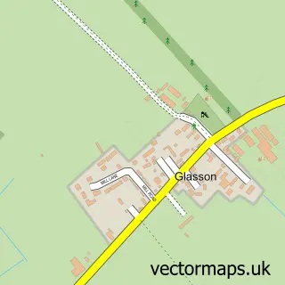
Nearby street map samples around Kirkbride

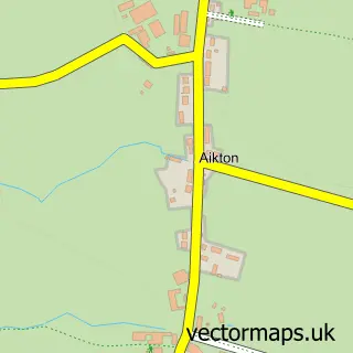
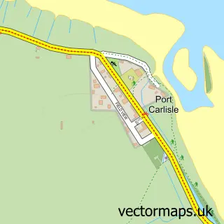
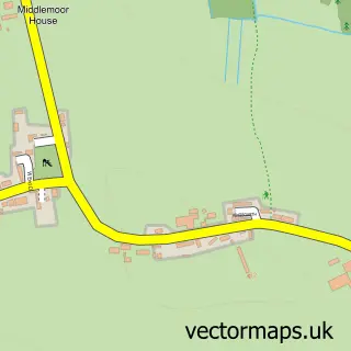
More street maps in Cumbria
750 metre map area coverage
Boundary, postcode and point of interest information for the 750m x 750m rectangle centred on this sample map.
Boundaries containing map centre
Constituency: Penrith and Solway Co Const
District: Cumberland
Icb: NHS North East and North Cumbria ICB
Parish: Kirkbride CP
Police Force: cumbria
Postcode District: CA7
Postcode Sector: CA7 5
Ward: Thursby Ward
Nearby boundaries intersecting sample
Parish: Holme East Waver CP
Ward: Solway Coast Ward
Postcode coverage
POI category counts
Shipping Center: 2
Automotive Repair: 1
Bar: 1
Butcher Shop: 1
Doctor: 1
Educational Services: 1
Landmark And Historical Building: 1
Pet Sitting: 1
Pet Store: 1
Photographer: 1
Sample points of interest
- J Aitchison & Sons
- Inn at the Bush.
- Solway Meats
- The Croft Surgery
- WECare Worldwide
- Angerton, Allerdale
- Silverhill Cattery
- IJK Pet Supplies
- Stephen Rowell Photography
- Stephen Rowell Photography
- Alan Scott Online
- Kirkbride Post Office
Create a larger editable map of Kirkbride
This sample shows only a 750 metre area. To create a larger map of Kirkbride, use our map builder to choose your own coverage area, add titles and download editable SVG, PDF and PNG files.
Create a custom map of Kirkbride