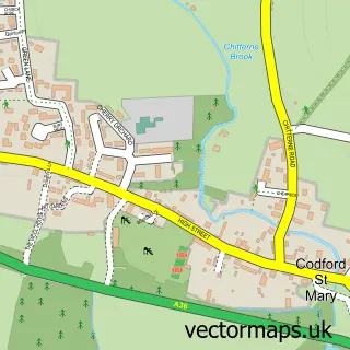
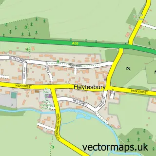
This Boyton street map is a detailed vector street map covering a 750m x 750m area. Select a larger area to create and download your own vector street map of Boyton.
The 750-metre map sample for Boyton covers 33 mapped buildings and approximately 5.8 km of road detail. The immediate area includes 1 MOT station within 2 miles. The wider area around Boyton features 2 food and drink venues and 1 campsite within 2 miles. To create a larger or custom map of Boyton, the map builder lets you define your own coverage area and download editable SVG, PDF and PNG files.
Create a larger editable map of Boyton
Choose any area you need and generate a high-quality vector map instantly. Perfect for print, planning, design, business and personal use.

This Boyton street map in Wiltshire is available as downloadable SVG, PDF and PNG map files, or as a printed map for planning, business, display, education, local information and design work. You can also create a larger custom map area using the map selector.
What this Boyton map sample shows
Boyton lies within Boyton Cp parish, part of Warminster Copheap And Wylye ward in the Wiltshire local authority area. The postcode geography for this area includes the BA postcode area, the BA12 postcode district and the BA12 0 postcode sector. Residents fall under the Nhs Bath And North East Somerset, Swindon And Wiltshire Integrated Care Board for NHS services.
Local features near Boyton
Within 2 milesAmenities and services in and around Boyton.
Administrative and postcode information for Boyton
Boyton lies within Boyton Cp parish, part of Warminster Copheap And Wylye ward in the Wiltshire local authority area. The postcode geography for this area includes the BA postcode area, the BA12 postcode district and the BA12 0 postcode sector. Residents fall under the Nhs Bath And North East Somerset, Swindon And Wiltshire Integrated Care Board for NHS services.
Nearby street map samples around Boyton
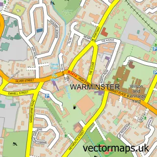

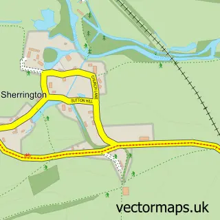
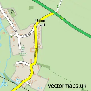
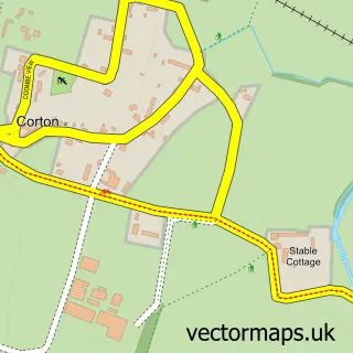
More street maps in Wiltshire
750 metre map area coverage
Boundary, postcode and point of interest information for the 750m x 750m rectangle centred on this sample map.
Boundaries containing map centre
Constituency: South West Wiltshire Co Const
District: Wiltshire
Icb: NHS Bath and North East Somerset Swindon and Wiltshire ICB
Parish: Boyton CP
Police Force: wiltshire
Postcode District: BA12
Postcode Sector: BA12 0
Nearby boundaries intersecting sample
Parish: Codford CP, Upton Lovell CP
Postcode coverage
POI category counts
Cafe: 2
Anglican Church: 1
Art Gallery: 1
Beauty Salon: 1
Butcher Shop: 1
Retail: 1
Shopping: 1
Yoga Studio: 1
Sample points of interest
- Boyton: Blessed Mary
- The Artist's Barn Boyton
- Beauty Retreat
- The Ginger Piggery
- Ginny's Cafe Boyton
- The Ginger Piggery
- Barrington International
- Boyton Farm
- The Stable Wellness
Create a larger editable map of Boyton
This sample shows only a 750 metre area. To create a larger map of Boyton, use our map builder to choose your own coverage area, add titles and download editable SVG, PDF and PNG files.
Create a custom map of Boyton