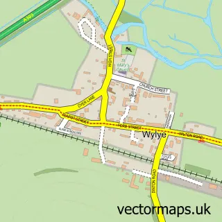
This Codford street map is a detailed vector street map covering a 750m x 750m area. Select a larger area to create and download your own vector street map of Codford.
The 750-metre map sample for Codford covers 183 mapped buildings and approximately 10.7 km of road detail, of which 14 named roads are named. The immediate area includes 1 school, 1 pub and 1 MOT station within 2 miles. The wider area around Codford features 2 food and drink venues and 1 campsite within 2 miles. To create a larger or custom map of Codford, the map builder lets you define your own coverage area and download editable SVG, PDF and PNG files.
Create a larger editable map of Codford
Choose any area you need and generate a high-quality vector map instantly. Perfect for print, planning, design, business and personal use.

This Codford street map in Wiltshire is available as downloadable SVG, PDF and PNG map files, or as a printed map for planning, business, display, education, local information and design work. You can also create a larger custom map area using the map selector.
What this Codford map sample shows
Codford lies within Codford Cp parish, part of Warminster Copheap And Wylye ward in the Wiltshire local authority area. The postcode geography for this area includes the BA postcode area, the BA12 postcode district and the BA12 0 postcode sector. Residents fall under the Nhs Bath And North East Somerset, Swindon And Wiltshire Integrated Care Board for NHS services.
Local features near Codford
Within 2 milesAmenities and services in and around Codford.
Administrative and postcode information for Codford
The local authority covering Codford is Wiltshire, within the county of Wiltshire. The settlement lies within Warminster Copheap And Wylye ward and Codford Cp civil parish. The BA12 postcode district and BA12 0 postcode sector serve the immediate area. NHS provision in the area is delivered through Salisbury Nhs Foundation Trust.
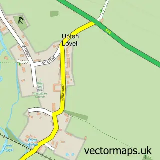
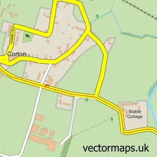
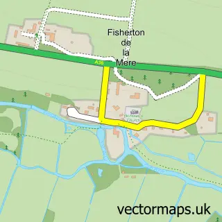
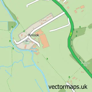
Nearby street map samples around Codford

More street maps in Wiltshire
750 metre map area coverage
Boundary, postcode and point of interest information for the 750m x 750m rectangle centred on this sample map.
Boundaries containing map centre
Constituency: South West Wiltshire Co Const
District: Wiltshire
Icb: NHS Bath and North East Somerset Swindon and Wiltshire ICB
Parish: Codford CP
Police Force: wiltshire
Postcode District: BA12
Postcode Sector: BA12 0
Nearby boundaries intersecting sample
No additional intersecting boundaries found.
Postcode coverage
POI category counts
Elementary School: 2
Accountant: 1
Antique Store: 1
Convenience Store: 1
Corporate Entertainment Services: 1
Education: 1
Estate Planning Law: 1
Event Photography: 1
Home Service: 1
Interior Design: 1
Sample points of interest
- John Nuth & Co.
- Tina's Antiques
- Budgens Codford St Mary
- Vintage Nostalgia Festival
- Codford Caterpillars Pre School
- Wylye Valley CofE VA Primary School
- Wylye Valley Primary School, Codford
- Whitebrook Wills & Trusts
- Warminster Youth Centre
- Wylye Coyotes AfterSchool Club
- M & P Decorating Solutions
- Cherry Orchard Surgery
Create a larger editable map of Codford
This sample shows only a 750 metre area. To create a larger map of Codford, use our map builder to choose your own coverage area, add titles and download editable SVG, PDF and PNG files.
Create a custom map of Codford