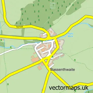
This Braithwaite street map is a detailed vector street map covering a 750m x 750m area. Select a larger area to create and download your own vector street map of Braithwaite.
The 750-metre map sample for Braithwaite covers 175 mapped buildings and approximately 12.8 km of road detail, of which 5 named roads are named. The immediate area includes 1 school, 3 pubs and 1 MOT station within 2 miles. The wider area around Braithwaite features 5 tourism points of interest, 5 food and drink venues and 8 hotels. To create a larger or custom map of Braithwaite, the map builder lets you define your own coverage area and download editable SVG, PDF and PNG files.
Create a larger editable map of Braithwaite
Choose any area you need and generate a high-quality vector map instantly. Perfect for print, planning, design, business and personal use.

This Braithwaite street map in Cumbria is available as downloadable SVG, PDF and PNG map files, or as a printed map for planning, business, display, education, local information and design work. You can also create a larger custom map area using the map selector.
What this Braithwaite map sample shows
Braithwaite lies within Above Derwent Cp parish, part of Crummock & Derwent Valley ward in the Cumberland local authority area. The postcode geography for this area includes the CA postcode area, the CA12 postcode district and the CA12 5 postcode sector. Residents fall under the Nhs North East And North Cumbria Integrated Care Board for NHS services.
Local features near Braithwaite
Within 2 milesAmenities and services in and around Braithwaite.
Administrative and postcode information for Braithwaite
The local authority covering Braithwaite is Cumberland, within the county of Cumbria. The settlement lies within Crummock & Derwent Valley ward and Above Derwent Cp civil parish. The CA12 postcode district and CA12 5 postcode sector serve the immediate area. NHS provision in the area is delivered through North Cumbria Integrated Care Nhs Foundation Trust.
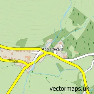
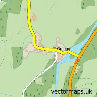
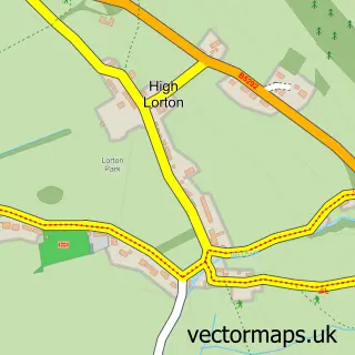
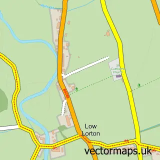
Nearby street map samples around Braithwaite
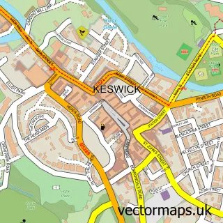

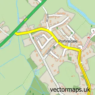
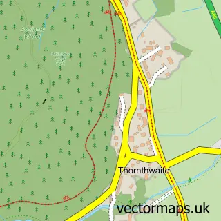
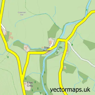
More street maps in Cumbria
750 metre map area coverage
Boundary, postcode and point of interest information for the 750m x 750m rectangle centred on this sample map.
Boundaries containing map centre
Constituency: Penrith and Solway Co Const
District: Cumberland
Icb: NHS North East and North Cumbria ICB
Parish: Above Derwent CP
Police Force: cumbria
Postcode District: CA12
Postcode Sector: CA12 5
Ward: Bothel and Wharrels Ward
Nearby boundaries intersecting sample
No additional intersecting boundaries found.
Postcode coverage
POI category counts
Hotel: 8
Campground: 4
Pub: 3
Bed And Breakfast: 2
Holiday Rental Home: 2
Anglican Church: 1
British Restaurant: 1
Coffee Shop: 1
Elementary School: 1
Furniture Store: 1
Sample points of interest
- St Herbert's Braithwaite
- Orchard Grove Bed & Breakfast
- The Holiday Property Bond Sales
- Ivy House Restaurant
- Braithwaite Village Camping and Caravan Club
- Braithwaite Village Camping and Caravanning Club
- Scotgate Caravan & Camping Park
- Scotgate Holiday Park
- Jaspers Coffee House
- Braithwaite Primary School
- Gray Rutland Carpets
- Forester's Cottage
Create a larger editable map of Braithwaite
This sample shows only a 750 metre area. To create a larger map of Braithwaite, use our map builder to choose your own coverage area, add titles and download editable SVG, PDF and PNG files.
Create a custom map of Braithwaite