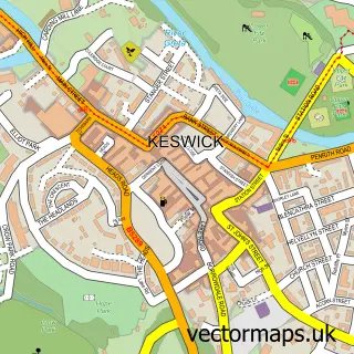
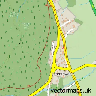
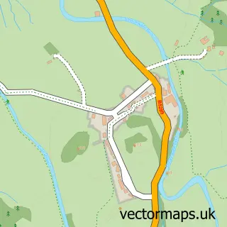
This Portinscale street map is a detailed vector street map covering a 750m x 750m area. Select a larger area to create and download your own vector street map of Portinscale.
The 750-metre map sample for Portinscale covers 183 mapped buildings and approximately 10.0 km of road detail, of which 4 named roads are named. The immediate area includes 1 GP surgery within 2 miles, 2 pubs and 2 MOT stations within 2 miles. The wider area around Portinscale features 2 food and drink venues, 3 hotels and 1 campsite within 2 miles. To create a larger or custom map of Portinscale, the map builder lets you define your own coverage area and download editable SVG, PDF and PNG files.
Create a larger editable map of Portinscale
Choose any area you need and generate a high-quality vector map instantly. Perfect for print, planning, design, business and personal use.

This Portinscale street map in Cumbria is available as downloadable SVG, PDF and PNG map files, or as a printed map for planning, business, display, education, local information and design work. You can also create a larger custom map area using the map selector.
What this Portinscale map sample shows
Portinscale lies within Above Derwent Cp parish, part of Crummock & Derwent Valley ward in the Cumberland local authority area. The postcode geography for this area includes the CA postcode area, the CA12 postcode district and the CA12 5 postcode sector. Residents fall under the Nhs North East And North Cumbria Integrated Care Board for NHS services.
Local features near Portinscale
Within 2 milesAmenities and services in and around Portinscale.
Administrative and postcode information for Portinscale
The local authority covering Portinscale is Cumberland, within the county of Cumbria. The settlement lies within Crummock & Derwent Valley ward and Above Derwent Cp civil parish. The CA12 postcode district and CA12 5 postcode sector serve the immediate area. NHS provision in the area is delivered through North Cumbria Integrated Care Nhs Foundation Trust.
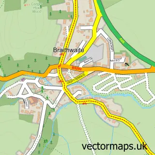
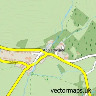
Nearby street map samples around Portinscale

More street maps in Cumbria
750 metre map area coverage
Boundary, postcode and point of interest information for the 750m x 750m rectangle centred on this sample map.
Boundaries containing map centre
Constituency: Penrith and Solway Co Const
District: Cumberland
Icb: NHS North East and North Cumbria ICB
Parish: Above Derwent CP
Police Force: cumbria
Postcode District: CA12
Postcode Sector: CA12 5
Ward: Bothel and Wharrels Ward
Nearby boundaries intersecting sample
Parish: Keswick CP
Ward: Keswick Ward
Postcode coverage
POI category counts
Bed And Breakfast: 7
Hotel: 3
Holiday Rental Home: 2
Pub: 2
Church Cathedral: 1
Community Center: 1
Marina: 1
Online Shop: 1
Professional Services: 1
Sports And Recreation Venue: 1
Sample points of interest
- Dalegarth House
- Lake View
- Powe House
- Powe House Guest House
- Rickerby Grange
- Skiddaw Croft B&B
- The Mount Guest House
- Crosthwaite Parish Church
- Portinscale Village Hall
- High Beeches
- RiggsideKeswick
- Derwentwater Hotel
Create a larger editable map of Portinscale
This sample shows only a 750 metre area. To create a larger map of Portinscale, use our map builder to choose your own coverage area, add titles and download editable SVG, PDF and PNG files.
Create a custom map of Portinscale