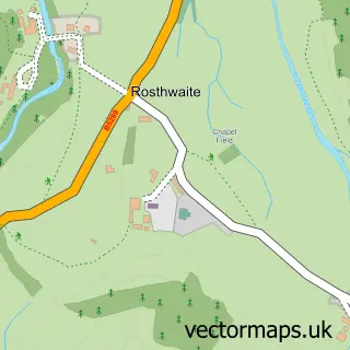
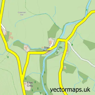
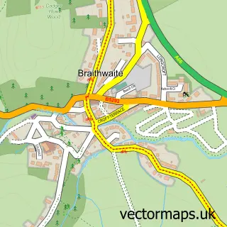
This Rosthwaite street map is a detailed vector street map covering a 750m x 750m area. Select a larger area to create and download your own vector street map of Rosthwaite.
The 750-metre map sample for Rosthwaite covers 47 mapped buildings and approximately 9.1 km of road detail. The immediate area includes 2 pubs. The wider area around Rosthwaite features 4 food and drink venues, 4 hotels and 1 campsite within 2 miles. To create a larger or custom map of Rosthwaite, the map builder lets you define your own coverage area and download editable SVG, PDF and PNG files.
Create a larger editable map of Rosthwaite
Choose any area you need and generate a high-quality vector map instantly. Perfect for print, planning, design, business and personal use.

This Rosthwaite street map in Cumbria is available as downloadable SVG, PDF and PNG map files, or as a printed map for planning, business, display, education, local information and design work. You can also create a larger custom map area using the map selector.
What this Rosthwaite map sample shows
Rosthwaite lies within Borrowdale Cp parish, part of Keswick ward in the Cumberland local authority area. The postcode geography for this area includes the CA postcode area, the CA12 postcode district and the CA12 5 postcode sector. Residents fall under the Nhs North East And North Cumbria Integrated Care Board for NHS services.
Local features near Rosthwaite
Within 2 milesAmenities and services in and around Rosthwaite.
Administrative and postcode information for Rosthwaite
The local authority covering Rosthwaite is Cumberland, within the county of Cumbria. The settlement lies within Keswick ward and Borrowdale Cp civil parish. The CA12 postcode district and CA12 5 postcode sector serve the immediate area. NHS provision in the area is delivered through North Cumbria Integrated Care Nhs Foundation Trust.
Nearby street map samples around Rosthwaite

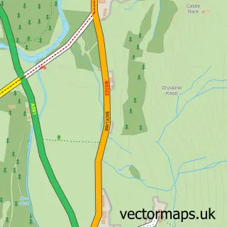
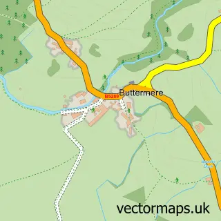
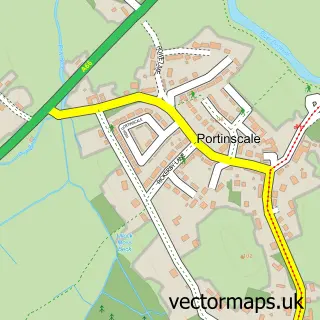
More street maps in Cumbria
750 metre map area coverage
Boundary, postcode and point of interest information for the 750m x 750m rectangle centred on this sample map.
Boundaries containing map centre
Constituency: Penrith and Solway Co Const
District: Cumberland
Icb: NHS North East and North Cumbria ICB
Parish: Borrowdale CP
Police Force: cumbria
Postcode District: CA12
Postcode Sector: CA12 5
Ward: Keswick Ward
Nearby boundaries intersecting sample
No additional intersecting boundaries found.
Postcode coverage
POI category counts
Hotel: 4
Cafe: 2
Pub: 2
Resort: 2
Tea Room: 2
Bed And Breakfast: 1
Community Center: 1
Ev Charging Station: 1
Farm: 1
Hiking Trail: 1
Sample points of interest
- Yew Craggs Borrowdale
- Siskins Cafe Within Whinlatter Visitor Centre
- Yew Tree Farm & Flock in Cafe, Rosthwaite
- Borrowdale Institute
- The Royal Oak Hotel
- Nook Farm - Rosthwaite
- Seathwaite
- Borrowdale Self Catering Holidays
- Hazel Bank Country House Hotel
- Hazelbank Country House
- Royal Oak Hotel
- Riverside Inn
Create a larger editable map of Rosthwaite
This sample shows only a 750 metre area. To create a larger map of Rosthwaite, use our map builder to choose your own coverage area, add titles and download editable SVG, PDF and PNG files.
Create a custom map of Rosthwaite