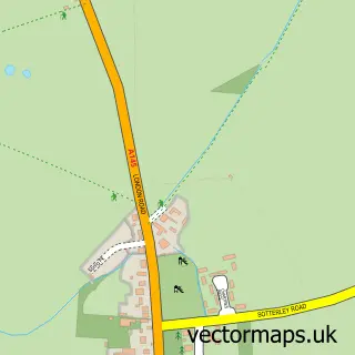
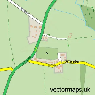
This Brampton street map is a detailed vector street map covering a 750m x 750m area. Select a larger area to create and download your own vector street map of Brampton.
The 750-metre map sample for Brampton covers 54 mapped buildings and approximately 6.6 km of road detail, of which 5 named roads are named. The immediate area includes 1 school and 1 MOT station within 2 miles. The wider area around Brampton features 1 tourism point of interest. To create a larger or custom map of Brampton, the map builder lets you define your own coverage area and download editable SVG, PDF and PNG files.
Create a larger editable map of Brampton
Choose any area you need and generate a high-quality vector map instantly. Perfect for print, planning, design, business and personal use.

This Brampton street map in Suffolk is available as downloadable SVG, PDF and PNG map files, or as a printed map for planning, business, display, education, local information and design work. You can also create a larger custom map area using the map selector.
What this Brampton map sample shows
Brampton lies within Brampton With Stoven Cp parish, part of Halesworth & Blything ward in the East Suffolk District local authority area. The postcode geography for this area includes the NR postcode area, the NR34 postcode district and the NR34 8 postcode sector. Residents fall under the Nhs Norfolk And Waveney Integrated Care Board for NHS services.
Local features near Brampton
Within 2 milesAmenities and services in and around Brampton.
Administrative and postcode information for Brampton
The local authority covering Brampton is East Suffolk District, within the county of Suffolk. The settlement lies within Halesworth & Blything ward and Brampton With Stoven Cp civil parish. The NR34 postcode district and NR34 8 postcode sector serve the immediate area. NHS provision in the area is delivered through James Paget University Hospitals Nhs Foundation Trust.
Nearby street map samples around Brampton

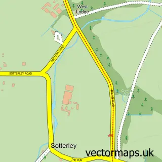
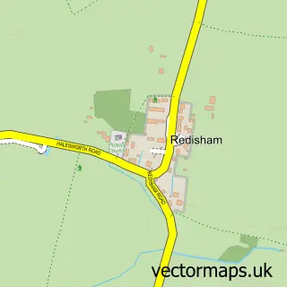
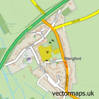
More street maps in Suffolk
750 metre map area coverage
Boundary, postcode and point of interest information for the 750m x 750m rectangle centred on this sample map.
Boundaries containing map centre
Constituency: Waveney Valley Co Const
County: Suffolk County
District: East Suffolk District
Icb: NHS Norfolk and Waveney ICB
Parish: Brampton with Stoven CP
Police Force: suffolk
Postcode District: NR34
Postcode Sector: NR34 8
Ward: Halesworth & Blything Ward
Nearby boundaries intersecting sample
No additional intersecting boundaries found.
Postcode coverage
POI category counts
Elementary School: 2
Beauty And Spa: 1
Bed And Breakfast: 1
Educational Services: 1
Furniture Store: 1
Park: 1
Roofing: 1
Sample points of interest
- Bath Bomb Beauties
- Brampton Dog
- Professional Development UK Ltd.
- Brampton Church of England Primary School
- Brampton Primary
- Chairs and Tables Limited
- Henham Park
- D J Rackham
Create a larger editable map of Brampton
This sample shows only a 750 metre area. To create a larger map of Brampton, use our map builder to choose your own coverage area, add titles and download editable SVG, PDF and PNG files.
Create a custom map of Brampton