This Breage street map is a detailed vector street map covering a 750m x 750m area. Select a larger area to create and download your own vector street map of Breage.
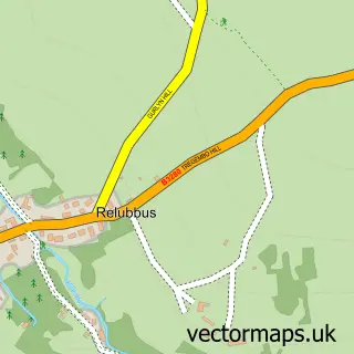
The 750-metre map sample for Breage covers 182 mapped buildings and approximately 10.4 km of road detail, of which 13 named roads are named. The immediate area includes 1 school, 2 pubs and 2 MOT stations within 2 miles. The wider area around Breage features 2 tourism points of interest, 3 food and drink venues and 1 hotel. To create a larger or custom map of Breage, the map builder lets you define your own coverage area and download editable SVG, PDF and PNG files.
Create a larger editable map of Breage
Choose any area you need and generate a high-quality vector map instantly. Perfect for print, planning, design, business and personal use.

This Breage street map in Cornwall is available as downloadable SVG, PDF and PNG map files, or as a printed map for planning, business, display, education, local information and design work. You can also create a larger custom map area using the map selector.
What this Breage map sample shows
Breage lies within Breage Cp parish, part of Breage, Germoe And Sithney ward in the Cornwall local authority area. The postcode geography for this area includes the TR postcode area, the TR13 postcode district and the TR13 9 postcode sector. Residents fall under the Nhs Cornwall And The Isles Of Scilly Integrated Care Board for NHS services.
Local features near Breage
Within 2 milesAmenities and services in and around Breage.
Administrative and postcode information for Breage
Breage lies within Breage Cp parish, part of Breage, Germoe And Sithney ward in the Cornwall local authority area. The postcode geography for this area includes the TR postcode area, the TR13 postcode district and the TR13 9 postcode sector. Residents fall under the Nhs Cornwall And The Isles Of Scilly Integrated Care Board for NHS services.
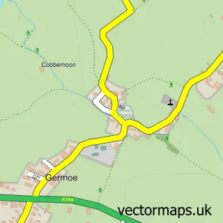
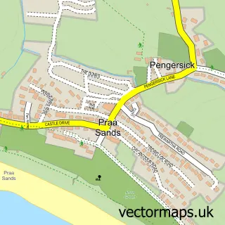
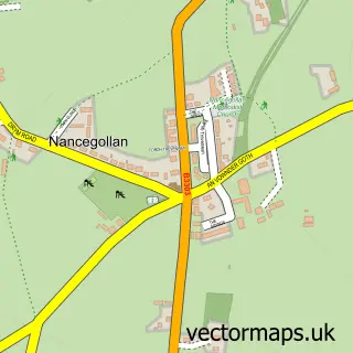
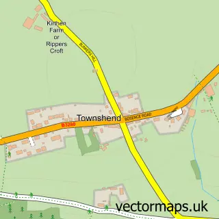
Nearby street map samples around Breage

More street maps in Cornwall
750 metre map area coverage
Boundary, postcode and point of interest information for the 750m x 750m rectangle centred on this sample map.
Boundaries containing map centre
Constituency: St. Ives Co Const
District: Cornwall
Icb: NHS Cornwall and the Isles of Scilly ICB
Parish: Breage CP
Police Force: devon and cornwall
Postcode District: TR13
Postcode Sector: TR13 9
Nearby boundaries intersecting sample
No additional intersecting boundaries found.
Postcode coverage
POI category counts
Anglican Church: 2
Pub: 2
Retail: 2
Assisted Living Facility: 1
Bar: 1
Bridal Shop: 1
Building Supply Store: 1
Campground: 1
Electrician: 1
Elementary School: 1
Sample points of interest
- Breage: St Breaca
- St. Breaca Church
- Breage House
- Breage Snooker and Social Club
- Platinum Wedding Photos
- Tresidder Fencing
- Trevena Cross Camping
- Dan Waite Electrical
- Breage Church of England Primary School
- Mick The Window
- Cherry Mason's Fruit Farm
- Live One Eighty
Create a larger editable map of Breage
This sample shows only a 750 metre area. To create a larger map of Breage, use our map builder to choose your own coverage area, add titles and download editable SVG, PDF and PNG files.
Create a custom map of Breage