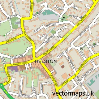
This Porthleven street map is a detailed vector street map covering a 750m x 750m area. Select a larger area to create and download your own vector street map of Porthleven.
The 750-metre map sample for Porthleven covers 383 mapped buildings and approximately 17.3 km of road detail, of which 37 named roads are named. The immediate area includes 5 pubs and 3 MOT stations within 2 miles. The wider area around Porthleven features 1 tourism point of interest, 18 food and drink venues and 5 hotels. To create a larger or custom map of Porthleven, the map builder lets you define your own coverage area and download editable SVG, PDF and PNG files.
Create a larger editable map of Porthleven
Choose any area you need and generate a high-quality vector map instantly. Perfect for print, planning, design, business and personal use.

This Porthleven street map in Cornwall is available as downloadable SVG, PDF and PNG map files, or as a printed map for planning, business, display, education, local information and design work. You can also create a larger custom map area using the map selector.
What this Porthleven map sample shows
Porthleven lies within Porthleven Cp parish, part of Porthleven And Helston West ward in the Cornwall local authority area. The postcode geography for this area includes the TR postcode area, the TR13 postcode district and the TR13 9 postcode sector. Residents fall under the Nhs Cornwall And The Isles Of Scilly Integrated Care Board for NHS services.
Local features near Porthleven
Within 2 milesAmenities and services in and around Porthleven.
Administrative and postcode information for Porthleven
The local authority covering Porthleven is Cornwall, within the county of Cornwall. The settlement lies within Porthleven And Helston West ward and Porthleven Cp civil parish. The TR13 postcode district and TR13 9 postcode sector serve the immediate area. NHS provision in the area is delivered through Royal Cornwall Hospitals Nhs Trust.
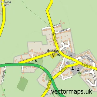
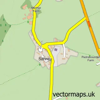
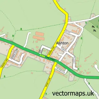
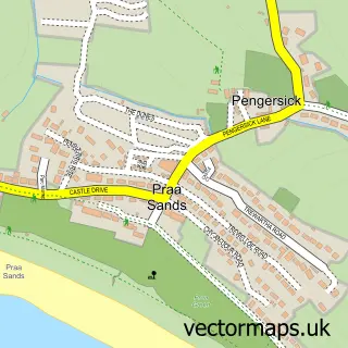
Nearby street map samples around Porthleven


More street maps in Cornwall
750 metre map area coverage
Boundary, postcode and point of interest information for the 750m x 750m rectangle centred on this sample map.
Boundaries containing map centre
Constituency: St. Ives Co Const
District: Cornwall
Icb: NHS Cornwall and the Isles of Scilly ICB
Parish: Porthleven CP
Police Force: devon and cornwall
Nearby boundaries intersecting sample
Postcode District: TR13
Postcode Sector: TR13 9
Postcode coverage
POI category counts
Art Gallery: 7
Flowers And Gifts Shop: 6
Restaurant: 6
Clothing Store: 5
Holiday Rental Home: 5
Hotel: 5
Pub: 5
Transportation: 5
Active Life: 4
Cafe: 4
Sample points of interest
- Porthlevan
- Bumble Bee Accountancy Ltd.
- Joe Frost Inspiring Fitness Personal Trainer
- Mollie May Charters
- The Harbour, Porthleven
- Vertical Blue Adventures
- DMC | Digital Marketing Creations
- Porthleven: St Bartholomew
- Albatross Gallery
- Carla Regler Photography
- Four Crows Gallery
- LaunchArt
Create a larger editable map of Porthleven
This sample shows only a 750 metre area. To create a larger map of Porthleven, use our map builder to choose your own coverage area, add titles and download editable SVG, PDF and PNG files.
Create a custom map of Porthleven