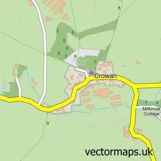
This Nancegollan street map is a detailed vector street map covering a 750m x 750m area. Select a larger area to create and download your own vector street map of Nancegollan.
The 750-metre map sample for Nancegollan covers 108 mapped buildings and approximately 11.0 km of road detail, of which 5 named roads are named. The immediate area includes 1 MOT station. The wider area around Nancegollan features 4 campsites within 2 miles. To create a larger or custom map of Nancegollan, the map builder lets you define your own coverage area and download editable SVG, PDF and PNG files.
Create a larger editable map of Nancegollan
Choose any area you need and generate a high-quality vector map instantly. Perfect for print, planning, design, business and personal use.

This Nancegollan street map in Cornwall is available as downloadable SVG, PDF and PNG map files, or as a printed map for planning, business, display, education, local information and design work. You can also create a larger custom map area using the map selector.
What this Nancegollan map sample shows
Nancegollan lies within Crowan Cp parish, part of Crowan And Wendron ward in the Cornwall local authority area. The postcode geography for this area includes the TR postcode area, the TR13 postcode district and the TR13 0 postcode sector. Residents fall under the Nhs Cornwall And The Isles Of Scilly Integrated Care Board for NHS services.
Local features near Nancegollan
Within 2 milesAmenities and services in and around Nancegollan.
Administrative and postcode information for Nancegollan
The local authority covering Nancegollan is Cornwall, within the county of Cornwall. The settlement lies within Crowan And Wendron ward and Crowan Cp civil parish. The TR13 postcode district and TR13 0 postcode sector serve the immediate area. NHS provision in the area is delivered through Royal Cornwall Hospitals Nhs Trust.
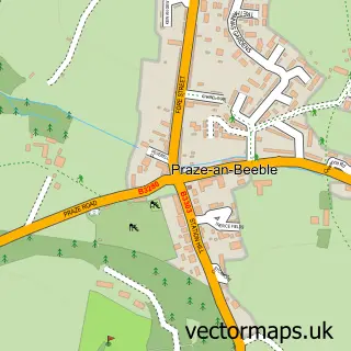
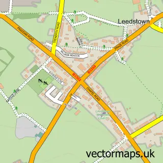
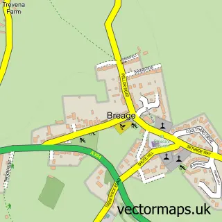
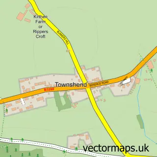
Nearby street map samples around Nancegollan


More street maps in Cornwall
750 metre map area coverage
Boundary, postcode and point of interest information for the 750m x 750m rectangle centred on this sample map.
Boundaries containing map centre
Constituency: St. Ives Co Const
District: Cornwall
Icb: NHS Cornwall and the Isles of Scilly ICB
Parish: Crowan CP
Police Force: devon and cornwall
Postcode District: TR13
Postcode Sector: TR13 0
Nearby boundaries intersecting sample
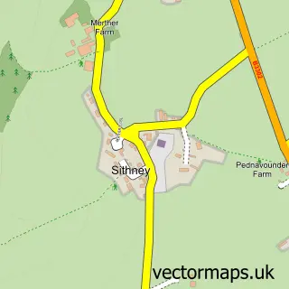
Parish: Breage CP, Sithney CP
Postcode coverage
POI category counts
Automotive Repair: 2
Professional Services: 2
Arts And Crafts: 1
Carpenter: 1
Community Center: 1
Construction Services: 1
Contractor: 1
Event Technology Service: 1
Gardener: 1
Health And Medical: 1
Sample points of interest
- Paul Francis Clairvoyant Psychic Medium
- West Cornwall Engine Services
- West Cornwall Engine Services
- Kernow Garage Doors
- Nancegollan Village Hall
- Hadex
- Tyson Utilities
- Trevarno Marquee & Event Hire
- Eric & Jeff Bray Tree & Garden Services
- Treat Yourself 2
- Cornwall Cooling
- Stratum Marquetry Ltd
Create a larger editable map of Nancegollan
This sample shows only a 750 metre area. To create a larger map of Nancegollan, use our map builder to choose your own coverage area, add titles and download editable SVG, PDF and PNG files.
Create a custom map of Nancegollan