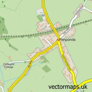
This Praze-An-Beeble street map is a detailed vector street map covering a 750m x 750m area. Select a larger area to create and download your own vector street map of Praze-An-Beeble.
The 750-metre map sample for Praze-An-Beeble covers 192 mapped buildings and approximately 10.1 km of road detail, of which 9 named roads are named. The immediate area includes 1 GP surgery and 2 pubs. The wider area around Praze-An-Beeble features 2 food and drink venues and 3 campsites within 2 miles. To create a larger or custom map of Praze-An-Beeble, the map builder lets you define your own coverage area and download editable SVG, PDF and PNG files.
Create a larger editable map of Praze-An-Beeble
Choose any area you need and generate a high-quality vector map instantly. Perfect for print, planning, design, business and personal use.

This Praze-An-Beeble street map in Cornwall is available as downloadable SVG, PDF and PNG map files, or as a printed map for planning, business, display, education, local information and design work. You can also create a larger custom map area using the map selector.
What this Praze-An-Beeble map sample shows
Praze-An-Beeble lies within Crowan Cp parish, part of Crowan And Wendron ward in the Cornwall local authority area. The postcode geography for this area includes the TR postcode area, the TR14 postcode district and the TR14 0 postcode sector. Residents fall under the Nhs Cornwall And The Isles Of Scilly Integrated Care Board for NHS services.
Local features near Praze-An-Beeble
Within 2 milesAmenities and services in and around Praze-An-Beeble.
Administrative and postcode information for Praze-An-Beeble
Praze-An-Beeble lies within Crowan Cp parish, part of Crowan And Wendron ward in the Cornwall local authority area. The postcode geography for this area includes the TR postcode area, the TR14 postcode district and the TR14 0 postcode sector. Residents fall under the Nhs Cornwall And The Isles Of Scilly Integrated Care Board for NHS services.
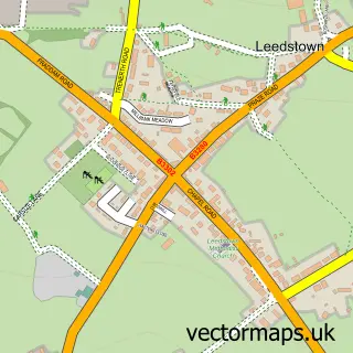
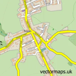
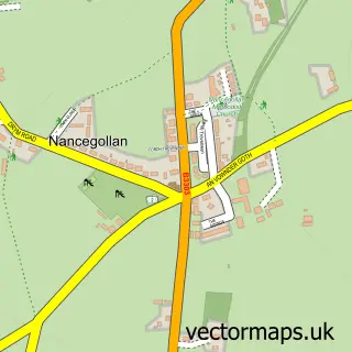
Nearby street map samples around Praze-An-Beeble

More street maps in Cornwall
750 metre map area coverage
Boundary, postcode and point of interest information for the 750m x 750m rectangle centred on this sample map.
Boundaries containing map centre
Constituency: St. Ives Co Const
District: Cornwall
Icb: NHS Cornwall and the Isles of Scilly ICB
Parish: Crowan CP
Police Force: devon and cornwall
Postcode District: TR14
Postcode Sector: TR14 0
Nearby boundaries intersecting sample
Postcode Sector: TR14 9
Postcode coverage
POI category counts
Plumbing: 3
Advertising Agency: 2
Bakery: 2
Driving School: 2
Pub: 2
Shipping Center: 2
Auto Upholstery: 1
Automotive Repair: 1
Caterer: 1
Church Cathedral: 1
Sample points of interest
- Teamwork
- Teamwork Leaflet Distribution
- Southwest Seating
- A&E AUTOS Repairs
- Philps
- Philps
- Miss Tea
- Treslothan Parish Church
- Praze-an-Beeble Institute and Village Hall
- IR Groundworks and Demolition Service
- Premier
- H Fairlie
Create a larger editable map of Praze-An-Beeble
This sample shows only a 750 metre area. To create a larger map of Praze-An-Beeble, use our map builder to choose your own coverage area, add titles and download editable SVG, PDF and PNG files.
Create a custom map of Praze-An-Beeble