This Carnhell Green street map is a detailed vector street map covering a 750m x 750m area. Select a larger area to create and download your own vector street map of Carnhell Green.
The 750-metre map sample for Carnhell Green covers 80 mapped buildings and approximately 8.0 km of road detail, of which 6 named roads are named. The immediate area includes 1 GP surgery within 2 miles and 1 MOT station within 2 miles. The wider area around Carnhell Green features 1 hotel and 5 campsites within 2 miles. To create a larger or custom map of Carnhell Green, the map builder lets you define your own coverage area and download editable SVG, PDF and PNG files.
Create a larger editable map of Carnhell Green
Choose any area you need and generate a high-quality vector map instantly. Perfect for print, planning, design, business and personal use.

This Carnhell Green street map in Cornwall is available as downloadable SVG, PDF and PNG map files, or as a printed map for planning, business, display, education, local information and design work. You can also create a larger custom map area using the map selector.
What this Carnhell Green map sample shows
Carnhell Green lies within Gwinear-Gwithian Cp parish, part of Gwinear-Gwithian And St Erth ward in the Cornwall local authority area. The postcode geography for this area includes the TR postcode area, the TR14 postcode district and the TR14 0 postcode sector. Residents fall under the Nhs Cornwall And The Isles Of Scilly Integrated Care Board for NHS services.
Local features near Carnhell Green
Within 2 milesAmenities and services in and around Carnhell Green.
Administrative and postcode information for Carnhell Green
Carnhell Green lies within Gwinear-Gwithian Cp parish, part of Gwinear-Gwithian And St Erth ward in the Cornwall local authority area. The postcode geography for this area includes the TR postcode area, the TR14 postcode district and the TR14 0 postcode sector. Residents fall under the Nhs Cornwall And The Isles Of Scilly Integrated Care Board for NHS services.
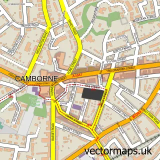
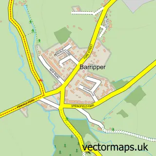
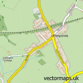
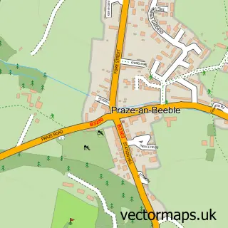
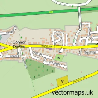
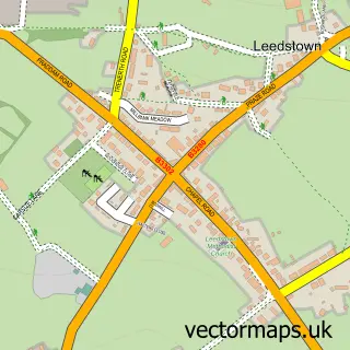
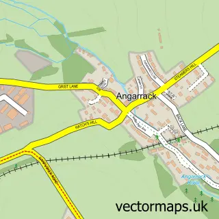
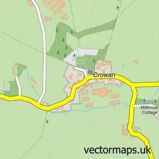
Nearby street map samples around Carnhell Green

More street maps in Cornwall
750 metre map area coverage
Boundary, postcode and point of interest information for the 750m x 750m rectangle centred on this sample map.
Boundaries containing map centre
Constituency: Camborne and Redruth Co Const
District: Cornwall
Icb: NHS Cornwall and the Isles of Scilly ICB
Parish: Gwinear-Gwithian CP
Police Force: devon and cornwall
Postcode District: TR14
Postcode Sector: TR14 0
Nearby boundaries intersecting sample
Postcode District: TR27
Postcode Sector: TR27 5
Postcode coverage
POI category counts
Holiday Rental Home: 2
Agriculture: 1
Art Gallery: 1
Beverage Store: 1
Caterer: 1
Clothing Store: 1
Farm Equipment And Supply: 1
Hotel: 1
Post Office: 1
Sample points of interest
- Westcountry Farmers
- Mosaics by BethRhoda
- Pendarves Inn
- Cornish Hog Roasts
- Mole Valley Farmers Gwinear
- Mole Valley Farmers Gwinear
- Border Cottage, Carnhell Green, Cornwall
- Penbroath Retreats
- Penbroath Cornish Cottages
- Carnhell Green Post Office
Create a larger editable map of Carnhell Green
This sample shows only a 750 metre area. To create a larger map of Carnhell Green, use our map builder to choose your own coverage area, add titles and download editable SVG, PDF and PNG files.
Create a custom map of Carnhell Green