This Connor Downs street map is a detailed vector street map covering a 750m x 750m area. Select a larger area to create and download your own vector street map of Connor Downs.
The 750-metre map sample for Connor Downs covers 214 mapped buildings and approximately 17.7 km of road detail, of which 18 named roads are named. The immediate area includes 1 pub and 1 MOT station, with 3 within 2 miles. The wider area around Connor Downs features 1 food and drink venue and 9 campsites within 2 miles. To create a larger or custom map of Connor Downs, the map builder lets you define your own coverage area and download editable SVG, PDF and PNG files.
Create a larger editable map of Connor Downs
Choose any area you need and generate a high-quality vector map instantly. Perfect for print, planning, design, business and personal use.

This Connor Downs street map in Cornwall is available as downloadable SVG, PDF and PNG map files, or as a printed map for planning, business, display, education, local information and design work. You can also create a larger custom map area using the map selector.
What this Connor Downs map sample shows
Connor Downs lies within Gwinear-Gwithian Cp parish, part of Gwinear-Gwithian And St Erth ward in the Cornwall local authority area. The postcode geography for this area includes the TR postcode area, the TR27 postcode district and the TR27 5 postcode sector. Residents fall under the Nhs Cornwall And The Isles Of Scilly Integrated Care Board for NHS services.
Local features near Connor Downs
Within 2 milesAmenities and services in and around Connor Downs.
Administrative and postcode information for Connor Downs
Connor Downs lies within Gwinear-Gwithian Cp parish, part of Gwinear-Gwithian And St Erth ward in the Cornwall local authority area. The postcode geography for this area includes the TR postcode area, the TR27 postcode district and the TR27 5 postcode sector. Residents fall under the Nhs Cornwall And The Isles Of Scilly Integrated Care Board for NHS services.
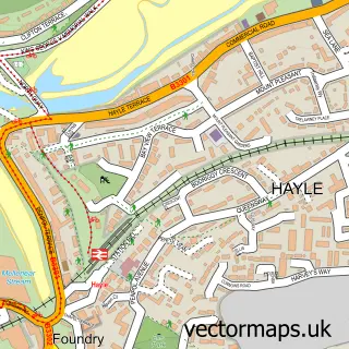
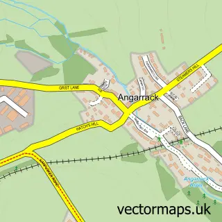
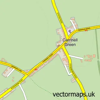
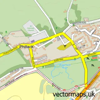
Nearby street map samples around Connor Downs

More street maps in Cornwall
750 metre map area coverage
Boundary, postcode and point of interest information for the 750m x 750m rectangle centred on this sample map.
Boundaries containing map centre
Constituency: Camborne and Redruth Co Const
District: Cornwall
Icb: NHS Cornwall and the Isles of Scilly ICB
Parish: Gwinear-Gwithian CP
Police Force: devon and cornwall
Postcode District: TR27
Postcode Sector: TR27 5
Nearby boundaries intersecting sample
No additional intersecting boundaries found.
Postcode coverage
POI category counts
Convenience Store: 2
Doctor: 2
Post Office: 2
Printing Equipment And Supply: 2
Professional Services: 2
Automotive Parts And Accessories: 1
Automotive Repair: 1
Beauty And Spa: 1
Bookstore: 1
Brewery: 1
Sample points of interest
- Thomas Touring
- Thomas Auto Tec
- Lashes HAYLE
- Redruth Bookshop
- St.Austell Brewery Company Limited
- Sandcastles Pre-School Playgroup
- SPAR Connor Downs
- SPAR Turnpike Road
- Sue Parker Hall
- Connor Downs Branch Surgery
- Connor Downs Surgery
- Woofing Wild
Create a larger editable map of Connor Downs
This sample shows only a 750 metre area. To create a larger map of Connor Downs, use our map builder to choose your own coverage area, add titles and download editable SVG, PDF and PNG files.
Create a custom map of Connor Downs