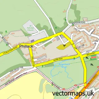
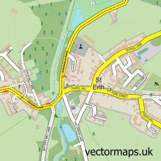
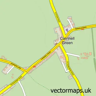
This Hayle street map is a detailed vector street map covering a 750m x 750m area. Select a larger area to create and download your own vector street map of Hayle.
The 750-metre map sample for Hayle covers 411 mapped buildings and approximately 18.6 km of road detail, of which 39 named roads are named. The immediate area includes 1 railway station, 1 GP surgery, 2 pubs and 1 MOT station, with 5 within 2 miles. The wider area around Hayle features 4 tourism points of interest, 9 food and drink venues and 1 hotel. To create a larger or custom map of Hayle, the map builder lets you define your own coverage area and download editable SVG, PDF and PNG files.
Create a larger editable map of Hayle
Choose any area you need and generate a high-quality vector map instantly. Perfect for print, planning, design, business and personal use.

This Hayle street map in Cornwall is available as downloadable SVG, PDF and PNG map files, or as a printed map for planning, business, display, education, local information and design work. You can also create a larger custom map area using the map selector.
What this Hayle map sample shows
Hayle lies within Hayle Cp parish, part of Hayle South ward in the Cornwall local authority area. The postcode geography for this area includes the TR postcode area, the TR27 postcode district and the TR27 4 postcode sector. Residents fall under the Nhs Cornwall And The Isles Of Scilly Integrated Care Board for NHS services.
Local features near Hayle
Within 2 milesAmenities and services in and around Hayle.
Administrative and postcode information for Hayle
Hayle lies within Hayle Cp parish, part of Hayle South ward in the Cornwall local authority area. The postcode geography for this area includes the TR postcode area, the TR27 postcode district and the TR27 4 postcode sector. Residents fall under the Nhs Cornwall And The Isles Of Scilly Integrated Care Board for NHS services.
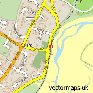
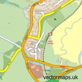
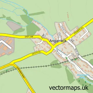
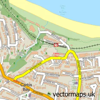
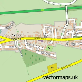
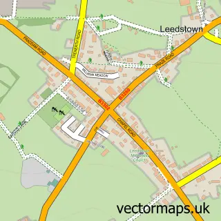
Nearby street map samples around Hayle

More street maps in Cornwall
750 metre map area coverage
Boundary, postcode and point of interest information for the 750m x 750m rectangle centred on this sample map.
Boundaries containing map centre
Constituency: Camborne and Redruth Co Const
District: Cornwall
Icb: NHS Cornwall and the Isles of Scilly ICB
Parish: Hayle CP
Police Force: devon and cornwall
Postcode District: TR27
Postcode Sector: TR27 4
Nearby boundaries intersecting sample
No additional intersecting boundaries found.
Postcode coverage
POI category counts
Flowers And Gifts Shop: 7
Beauty Salon: 5
Arts And Crafts: 4
Cafe: 4
Church Cathedral: 4
Convenience Store: 4
Bakery: 3
Banks: 3
Chinese Restaurant: 3
Grocery Store: 3
Sample points of interest
- Peter Sanders
- Link Into Learning
- Zephyr Creative
- St Elwyn the Martyr
- Foundry Antiques and Art Centre
- Foundry Gallery
- The Seasons Art Class Hayle
- Makers Boutique Studio Fabrics and Yarn
- Meritorious
- Meritorious Cards and Crafts
- The Clay Corner Pottery Painting
- Harbour View Chinese
Create a larger editable map of Hayle
This sample shows only a 750 metre area. To create a larger map of Hayle, use our map builder to choose your own coverage area, add titles and download editable SVG, PDF and PNG files.
Create a custom map of Hayle