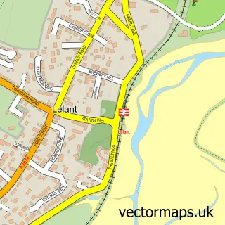
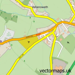
This Lelant Saltings street map is a detailed vector street map covering a 750m x 750m area. Select a larger area to create and download your own vector street map of Lelant Saltings.
The 750-metre map sample for Lelant Saltings covers 155 mapped buildings and approximately 9.0 km of road detail, of which 12 named roads are named. The immediate area includes 1 railway station, 1 GP surgery within 2 miles, 1 pub and 3 MOT stations within 2 miles. The wider area around Lelant Saltings features 1 tourism point of interest, 4 food and drink venues and 4 campsites within 2 miles. To create a larger or custom map of Lelant Saltings, the map builder lets you define your own coverage area and download editable SVG, PDF and PNG files.
Create a larger editable map of Lelant Saltings
Choose any area you need and generate a high-quality vector map instantly. Perfect for print, planning, design, business and personal use.

This Lelant Saltings street map in Cornwall is available as downloadable SVG, PDF and PNG map files, or as a printed map for planning, business, display, education, local information and design work. You can also create a larger custom map area using the map selector.
What this Lelant Saltings map sample shows
Lelant Saltings lies within St. Ives Cp parish, part of Lelant And Carbis Bay ward in the Cornwall local authority area. The postcode geography for this area includes the TR postcode area, the TR26 postcode district and the TR26 3 postcode sector. Residents fall under the Nhs Cornwall And The Isles Of Scilly Integrated Care Board for NHS services.
Local features near Lelant Saltings
Within 2 milesAmenities and services in and around Lelant Saltings.
Administrative and postcode information for Lelant Saltings
Lelant Saltings lies within St. Ives Cp parish, part of Lelant And Carbis Bay ward in the Cornwall local authority area. The postcode geography for this area includes the TR postcode area, the TR26 postcode district and the TR26 3 postcode sector. Residents fall under the Nhs Cornwall And The Isles Of Scilly Integrated Care Board for NHS services.
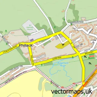
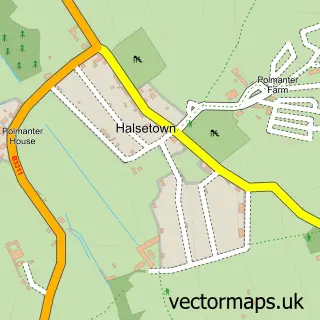
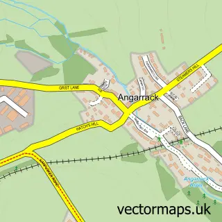
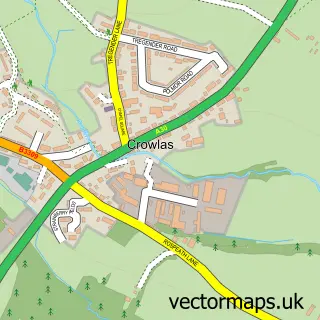
Nearby street map samples around Lelant Saltings

More street maps in Cornwall
750 metre map area coverage
Boundary, postcode and point of interest information for the 750m x 750m rectangle centred on this sample map.
Boundaries containing map centre
Constituency: St. Ives Co Const
District: Cornwall
Icb: NHS Cornwall and the Isles of Scilly ICB
Parish: St. Ives CP
Police Force: devon and cornwall
Postcode District: TR27
Postcode Sector: TR27 6
Nearby boundaries intersecting sample
Parish: Hayle CP, Ludgvan CP, St. Erth CP
Postcode District: TR26
Postcode Sector: TR26 3
Postcode coverage
POI category counts
Restaurant: 3
Advertising Agency: 1
Art Gallery: 1
Beach: 1
Cabin: 1
Clothing Store: 1
Fashion Accessories Store: 1
Gym: 1
Language School: 1
Liquor Store: 1
Sample points of interest
- Outcome
- Saltings Gallery
- Porthkidney Sands, Lelant, Cornwall
- The Cottage Boutique
- Joules
- Bonmarché
- Nance Fishing Lakes And Camping.
- Englishplus
- Scarlet Wines
- Jon Tremaine
- Dobbies
- The Watermill
Create a larger editable map of Lelant Saltings
This sample shows only a 750 metre area. To create a larger map of Lelant Saltings, use our map builder to choose your own coverage area, add titles and download editable SVG, PDF and PNG files.
Create a custom map of Lelant Saltings