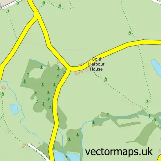
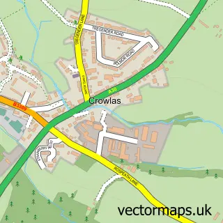
This Halsetown street map is a detailed vector street map covering a 750m x 750m area. Select a larger area to create and download your own vector street map of Halsetown.
The 750-metre map sample for Halsetown covers 111 mapped buildings and approximately 10.7 km of road detail. The immediate area includes 1 GP surgery within 2 miles, 1 pub and 1 MOT station within 2 miles. The wider area around Halsetown features 2 tourism points of interest, 2 food and drink venues and 8 campsites within 2 miles. To create a larger or custom map of Halsetown, the map builder lets you define your own coverage area and download editable SVG, PDF and PNG files.
Create a larger editable map of Halsetown
Choose any area you need and generate a high-quality vector map instantly. Perfect for print, planning, design, business and personal use.

This Halsetown street map in Cornwall is available as downloadable SVG, PDF and PNG map files, or as a printed map for planning, business, display, education, local information and design work. You can also create a larger custom map area using the map selector.
What this Halsetown map sample shows
Halsetown lies within St. Ives Cp parish, part of St Ives East ward in the Cornwall local authority area. The postcode geography for this area includes the TR postcode area, the TR26 postcode district and the TR26 3 postcode sector. Residents fall under the Nhs Cornwall And The Isles Of Scilly Integrated Care Board for NHS services.
Local features near Halsetown
Within 2 milesAmenities and services in and around Halsetown.
Administrative and postcode information for Halsetown
The local authority covering Halsetown is Cornwall, within the county of Cornwall. The settlement lies within St Ives East ward and St. Ives Cp civil parish. The TR26 postcode district and TR26 3 postcode sector serve the immediate area. NHS provision in the area is delivered through Royal Cornwall Hospitals Nhs Trust.
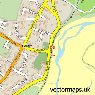
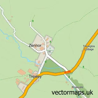
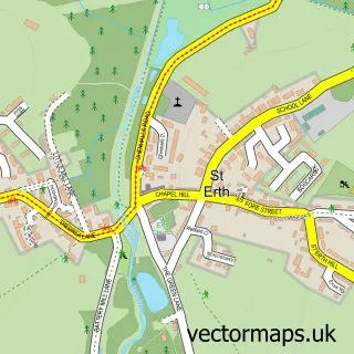
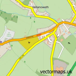
Nearby street map samples around Halsetown

More street maps in Cornwall
750 metre map area coverage
Boundary, postcode and point of interest information for the 750m x 750m rectangle centred on this sample map.
Boundaries containing map centre
Constituency: St. Ives Co Const
District: Cornwall
Icb: NHS Cornwall and the Isles of Scilly ICB
Parish: St. Ives CP
Police Force: devon and cornwall
Postcode District: TR26
Postcode Sector: TR26 3
Nearby boundaries intersecting sample
Postcode Sector: TR26 2
Postcode coverage
POI category counts
B2b Furniture And Housewares: 1
Bar: 1
Brewery: 1
Builders: 1
Building Supply Store: 1
Campground: 1
Dog Walkers: 1
Horse Riding: 1
Landmark And Historical Building: 1
Massage: 1
Sample points of interest
- Tomas & Jani
- The Stable Bar
- St Ives Cider
- Roger Corin & Co. Construction
- Kevin J Nankervis
- Polmanter Touring Park
- Doglife Cornwall
- Penhalwyn Trekking Centre and School
- Halsetown
- Relax & Revive at Polmanter St.Ives
- Callum Macleod Photography
- Halsetown Inn
Create a larger editable map of Halsetown
This sample shows only a 750 metre area. To create a larger map of Halsetown, use our map builder to choose your own coverage area, add titles and download editable SVG, PDF and PNG files.
Create a custom map of Halsetown