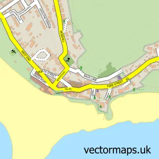
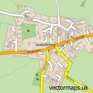
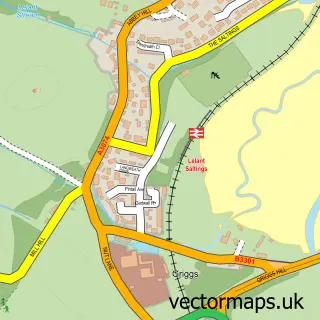
This Crowlas street map is a detailed vector street map covering a 750m x 750m area. Select a larger area to create and download your own vector street map of Crowlas.
The 750-metre map sample for Crowlas covers 233 mapped buildings and approximately 12.4 km of road detail, of which 6 named roads are named. The immediate area includes 1 school, 1 GP surgery within 2 miles, 1 pub and 1 MOT station, with 5 within 2 miles. The wider area around Crowlas features 1 food and drink venue and 4 campsites within 2 miles. To create a larger or custom map of Crowlas, the map builder lets you define your own coverage area and download editable SVG, PDF and PNG files.
Create a larger editable map of Crowlas
Choose any area you need and generate a high-quality vector map instantly. Perfect for print, planning, design, business and personal use.

This Crowlas street map in Cornwall is available as downloadable SVG, PDF and PNG map files, or as a printed map for planning, business, display, education, local information and design work. You can also create a larger custom map area using the map selector.
What this Crowlas map sample shows
Crowlas lies within Ludgvan Cp parish, part of Ludgvan ward in the Cornwall local authority area. The postcode geography for this area includes the TR postcode area, the TR20 postcode district and the TR20 8 postcode sector. Residents fall under the Nhs Cornwall And The Isles Of Scilly Integrated Care Board for NHS services.
Local features near Crowlas
Within 2 milesAmenities and services in and around Crowlas.
Administrative and postcode information for Crowlas
The local authority covering Crowlas is Cornwall, within the county of Cornwall. The settlement lies within Ludgvan ward and Ludgvan Cp civil parish. The TR20 postcode district and TR20 8 postcode sector serve the immediate area. NHS provision in the area is delivered through Royal Cornwall Hospitals Nhs Trust.
Nearby street map samples around Crowlas

More street maps in Cornwall
750 metre map area coverage
Boundary, postcode and point of interest information for the 750m x 750m rectangle centred on this sample map.
Boundaries containing map centre
Constituency: St. Ives Co Const
District: Cornwall
Icb: NHS Cornwall and the Isles of Scilly ICB
Parish: Ludgvan CP
Police Force: devon and cornwall
Postcode District: TR20
Postcode Sector: TR20 8
Nearby boundaries intersecting sample
Postcode Sector: TR20 9
Postcode coverage
POI category counts
Automotive Repair: 9
Construction Services: 3
Auto Body Shop: 2
Computer Store: 2
Freight And Cargo Service: 2
Home Cleaning: 2
Plumbing: 2
Airlines: 1
Antique Store: 1
Appliance Store: 1
Sample points of interest
- Cargo Carriers
- Feliks Sadowski Antique Restoration
- MCC Systems Ltd.
- Fix Auto Penzance
- Prestige Paint
- Fix Auto
- Andys Tyres Brakes Exhausts Penzance
- A M G Renault
- Automasters Penzance
- MBAutoworks
- Mounts Bay Garage
- No Rust For The Wicked
Create a larger editable map of Crowlas
This sample shows only a 750 metre area. To create a larger map of Crowlas, use our map builder to choose your own coverage area, add titles and download editable SVG, PDF and PNG files.
Create a custom map of Crowlas