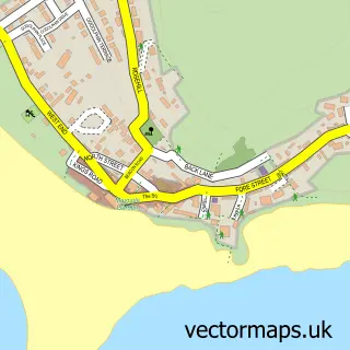
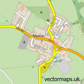
This Longrock street map is a detailed vector street map covering a 750m x 750m area. Select a larger area to create and download your own vector street map of Longrock.
The 750-metre map sample for Longrock covers 159 mapped buildings and approximately 12.5 km of road detail, of which 8 named roads are named. The immediate area includes 5 GP surgeries within 2 miles, 1 pub and 2 MOT stations, with 9 within 2 miles. The wider area around Longrock features 2 tourism points of interest, 3 food and drink venues and 1 hotel. To create a larger or custom map of Longrock, the map builder lets you define your own coverage area and download editable SVG, PDF and PNG files.
Create a larger editable map of Longrock
Choose any area you need and generate a high-quality vector map instantly. Perfect for print, planning, design, business and personal use.

This Longrock street map in Cornwall is available as downloadable SVG, PDF and PNG map files, or as a printed map for planning, business, display, education, local information and design work. You can also create a larger custom map area using the map selector.
What this Longrock map sample shows
Longrock lies within Ludgvan Cp parish, part of Ludgvan ward in the Cornwall local authority area. The postcode geography for this area includes the TR postcode area, the TR20 postcode district and the TR20 8 postcode sector. Residents fall under the Nhs Cornwall And The Isles Of Scilly Integrated Care Board for NHS services.
Local features near Longrock
Within 2 milesAmenities and services in and around Longrock.
Administrative and postcode information for Longrock
The local authority covering Longrock is Cornwall, within the county of Cornwall. The settlement lies within Ludgvan ward and Ludgvan Cp civil parish. The TR20 postcode district and TR20 8 postcode sector serve the immediate area. NHS provision in the area is delivered through Royal Cornwall Hospitals Nhs Trust.
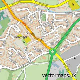
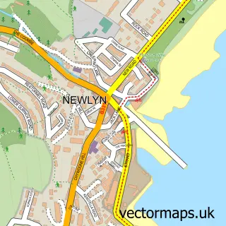
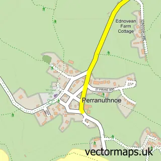
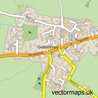
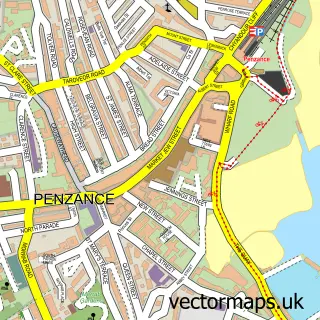
Nearby street map samples around Longrock

More street maps in Cornwall
750 metre map area coverage
Boundary, postcode and point of interest information for the 750m x 750m rectangle centred on this sample map.
Boundaries containing map centre
Constituency: St. Ives Co Const
District: Cornwall
Icb: NHS Cornwall and the Isles of Scilly ICB
Parish: Ludgvan CP
Police Force: devon and cornwall
Postcode District: TR20
Postcode Sector: TR20 8
Nearby boundaries intersecting sample
Postcode Sector: TR20 9
Postcode coverage
POI category counts
Building Supply Store: 6
Automotive Repair: 5
Contractor: 3
Electrician: 3
Gym: 3
Jewelry Store: 3
Advertising Agency: 2
Car Dealer: 2
Car Rental Agency: 2
Hardware Store: 2
Sample points of interest
- Channel Design
- Wild Associates Ltd
- Dover to Valet
- Cornwall Glass
- Euro Car Parts
- KDF Garage Services
- M R Autos
- Roundabout Garage
- Trelawny - Penzance
- West Kernow Motorcycle Engineers
- Lavenders Cornish Pasties
- Long Rock Beach
Create a larger editable map of Longrock
This sample shows only a 750 metre area. To create a larger map of Longrock, use our map builder to choose your own coverage area, add titles and download editable SVG, PDF and PNG files.
Create a custom map of Longrock