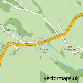
This Gulval street map is a detailed vector street map covering a 750m x 750m area. Select a larger area to create and download your own vector street map of Gulval.
The 750-metre map sample for Gulval covers 97 mapped buildings and approximately 10.1 km of road detail, of which 7 named roads are named. The immediate area includes 1 school, 4 GP surgeries within 2 miles and 8 MOT stations within 2 miles. The wider area around Gulval features 1 food and drink venue, 1 hotel and 5 campsites within 2 miles. To create a larger or custom map of Gulval, the map builder lets you define your own coverage area and download editable SVG, PDF and PNG files.
Create a larger editable map of Gulval
Choose any area you need and generate a high-quality vector map instantly. Perfect for print, planning, design, business and personal use.

This Gulval street map in Cornwall is available as downloadable SVG, PDF and PNG map files, or as a printed map for planning, business, display, education, local information and design work. You can also create a larger custom map area using the map selector.
What this Gulval map sample shows
Gulval lies within Ludgvan Cp parish, part of Ludgvan ward in the Cornwall local authority area. The postcode geography for this area includes the TR postcode area, the TR20 postcode district and the TR20 8 postcode sector. Residents fall under the Nhs Cornwall And The Isles Of Scilly Integrated Care Board for NHS services.
Local features near Gulval
Within 2 milesAmenities and services in and around Gulval.
Administrative and postcode information for Gulval
Gulval lies within Ludgvan Cp parish, part of Ludgvan ward in the Cornwall local authority area. The postcode geography for this area includes the TR postcode area, the TR20 postcode district and the TR20 8 postcode sector. Residents fall under the Nhs Cornwall And The Isles Of Scilly Integrated Care Board for NHS services.
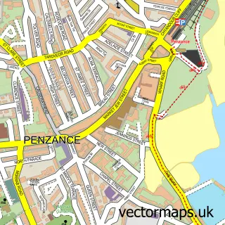
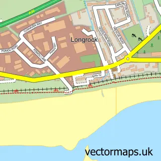
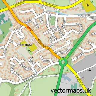
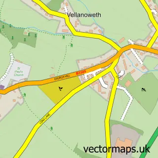
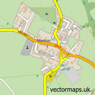
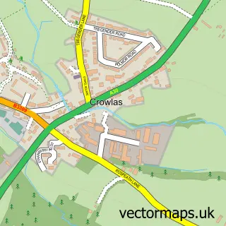
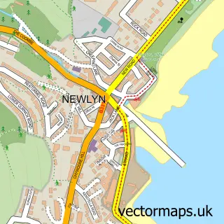
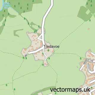
Nearby street map samples around Gulval

More street maps in Cornwall
750 metre map area coverage
Boundary, postcode and point of interest information for the 750m x 750m rectangle centred on this sample map.
Boundaries containing map centre
Constituency: St. Ives Co Const
District: Cornwall
Icb: NHS Cornwall and the Isles of Scilly ICB
Parish: Penzance CP
Police Force: devon and cornwall
Postcode District: TR18
Postcode Sector: TR18 3
Nearby boundaries intersecting sample
Parish: Ludgvan CP, Madron CP
Postcode District: TR20
Postcode Sector: TR20 8
Postcode coverage
POI category counts
Agricultural Service: 1
Anglican Church: 1
Art Gallery: 1
Church Cathedral: 1
Community Services Non Profits: 1
Counseling And Mental Health: 1
Craft Shop: 1
Education: 1
Elementary School: 1
Flowers And Gifts Shop: 1
Sample points of interest
- Duchy Tractors Ltd
- Gulval: St Gudwal
- K R Scott
- Gulval Church
- Gulval WI
- Tim Harvard Psychotherapy
- Cottage Needlecrafts
- Gulval School
- Gulval Community Primary School
- Cornish Lilies
- Gulval Farm Cottages
- Tolpedn holiday cottage in Penzance
Create a larger editable map of Gulval
This sample shows only a 750 metre area. To create a larger map of Gulval, use our map builder to choose your own coverage area, add titles and download editable SVG, PDF and PNG files.
Create a custom map of Gulval