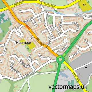
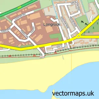
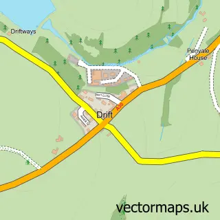
This Penzance street map is a detailed vector street map covering a 750m x 750m area. Select a larger area to create and download your own vector street map of Penzance.
The 750-metre map sample for Penzance covers 214 mapped buildings and approximately 24.1 km of road detail, of which 69 named roads are named. The immediate area includes 1 railway station, 1 GP surgery, with 4 within 2 miles, 20 pubs and 1 MOT station, with 10 within 2 miles. The wider area around Penzance features 13 tourism points of interest, 58 food and drink venues and 18 hotels. To create a larger or custom map of Penzance, the map builder lets you define your own coverage area and download editable SVG, PDF and PNG files.
Create a larger editable map of Penzance
Choose any area you need and generate a high-quality vector map instantly. Perfect for print, planning, design, business and personal use.

This Penzance street map in Cornwall is available as downloadable SVG, PDF and PNG map files, or as a printed map for planning, business, display, education, local information and design work. You can also create a larger custom map area using the map selector.
What this Penzance map sample shows
Penzance lies within Penzance Cp parish, part of Penzance Promenade ward in the Cornwall local authority area. The postcode geography for this area includes the TR postcode area, the TR18 postcode district and the TR18 4 postcode sector. Residents fall under the Nhs Cornwall And The Isles Of Scilly Integrated Care Board for NHS services.
Local features near Penzance
Within 2 milesAmenities and services in and around Penzance.
Administrative and postcode information for Penzance
Penzance lies within Penzance Cp parish, part of Penzance Promenade ward in the Cornwall local authority area. The postcode geography for this area includes the TR postcode area, the TR18 postcode district and the TR18 4 postcode sector. Residents fall under the Nhs Cornwall And The Isles Of Scilly Integrated Care Board for NHS services.
Nearby street map samples around Penzance

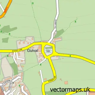
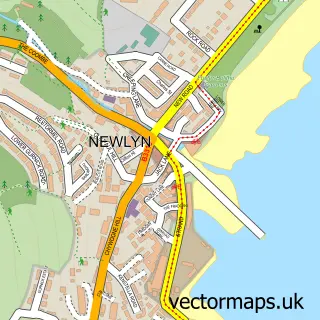
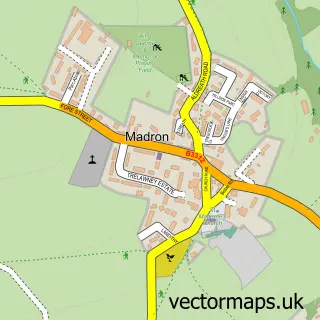
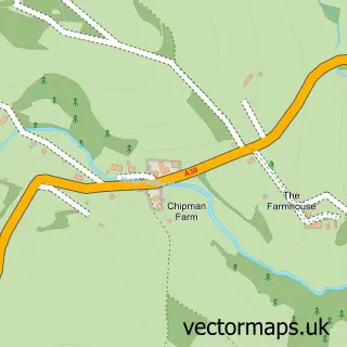
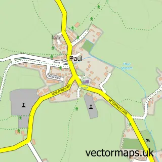
More street maps in Cornwall
750 metre map area coverage
Boundary, postcode and point of interest information for the 750m x 750m rectangle centred on this sample map.
Boundaries containing map centre
Constituency: St. Ives Co Const
District: Cornwall
Icb: NHS Cornwall and the Isles of Scilly ICB
Parish: Penzance CP
Police Force: devon and cornwall
Postcode District: TR18
Postcode Sector: TR18 2
Nearby boundaries intersecting sample
Postcode Sector: TR18 3, TR18 4
Postcode coverage
POI category counts
Pub: 20
Flowers And Gifts Shop: 19
Art Gallery: 18
Cafe: 18
Clothing Store: 18
Hotel: 18
Hair Salon: 14
Gift Shop: 13
Beauty Salon: 12
Jewelry Store: 12
Sample points of interest
- Number Nine Guest House
- Alverton Accountants
- JLU Accountancy
- The Accounting Equation
- The Backroom Limited
- Jubilee Pool
- Penzance Boat Fishing
- Unleashed Fishing Charters
- New Harmony Acupuncture
- Oriental Care
- Penzance Acupuncture Clinic
- Second Space Acupuncture
Create a larger editable map of Penzance
This sample shows only a 750 metre area. To create a larger map of Penzance, use our map builder to choose your own coverage area, add titles and download editable SVG, PDF and PNG files.
Create a custom map of Penzance