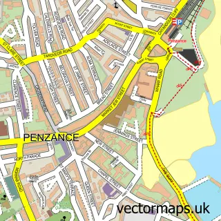
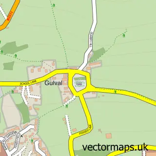
This Newlyn street map is a detailed vector street map covering a 750m x 750m area. Select a larger area to create and download your own vector street map of Newlyn.
The 750-metre map sample for Newlyn covers 284 mapped buildings and approximately 13.0 km of road detail, of which 30 named roads are named. The immediate area includes 1 school, 4 GP surgeries within 2 miles, 4 pubs and 7 MOT stations within 2 miles. The wider area around Newlyn features 1 tourism point of interest, 8 food and drink venues and 3 campsites within 2 miles. To create a larger or custom map of Newlyn, the map builder lets you define your own coverage area and download editable SVG, PDF and PNG files.
Create a larger editable map of Newlyn
Choose any area you need and generate a high-quality vector map instantly. Perfect for print, planning, design, business and personal use.

This Newlyn street map in Cornwall is available as downloadable SVG, PDF and PNG map files, or as a printed map for planning, business, display, education, local information and design work. You can also create a larger custom map area using the map selector.
What this Newlyn map sample shows
Newlyn lies within Penzance Cp parish, part of Newlyn And Mousehole ward in the Cornwall local authority area. Residents fall under the Nhs Cornwall And The Isles Of Scilly Integrated Care Board for NHS services.
Local features near Newlyn
Within 2 milesAmenities and services in and around Newlyn.
Administrative and postcode information for Newlyn
The local authority covering Newlyn is Cornwall, within the county of Cornwall. The settlement lies within Newlyn And Mousehole ward and Penzance Cp civil parish. NHS provision in the area is delivered through Royal Cornwall Hospitals Nhs Trust.
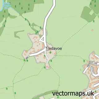
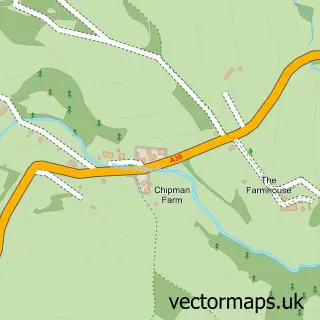
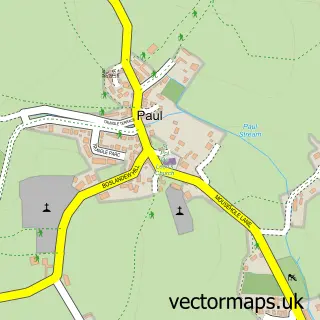
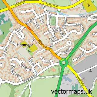
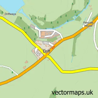
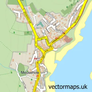
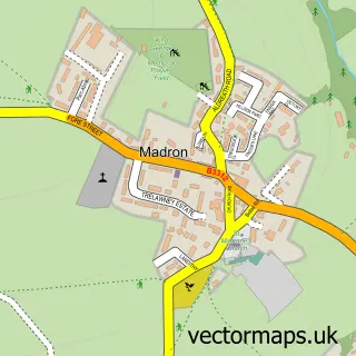
Nearby street map samples around Newlyn

More street maps in Cornwall
750 metre map area coverage
Boundary, postcode and point of interest information for the 750m x 750m rectangle centred on this sample map.
Boundaries containing map centre
Constituency: St. Ives Co Const
District: Cornwall
Icb: NHS Cornwall and the Isles of Scilly ICB
Parish: Penzance CP
Police Force: devon and cornwall
Postcode District: TR18
Postcode Sector: TR18 5
Nearby boundaries intersecting sample
Postcode Sector: TR18 4
Postcode coverage
POI category counts
Art Gallery: 8
Fishmonger: 4
Pub: 4
Bakery: 3
Professional Services: 3
Seafood Restaurant: 3
Adult Store: 2
Anglican Church: 2
Antique Store: 2
Arts And Entertainment: 2
Sample points of interest
- Rolling Papers Express
- Rolling Papers Express
- Tessa Goldhawk
- RNLI Penlee Lifeboat Station
- Newlyn: St Peter's Church
- St Peters Anglican Church
- Dolphin Art & Antiques - Newlyn
- The Strand
- Badcocks Gallery
- Coddiwomple
- Helen Feiler
- Jupiter Gallery
Create a larger editable map of Newlyn
This sample shows only a 750 metre area. To create a larger map of Newlyn, use our map builder to choose your own coverage area, add titles and download editable SVG, PDF and PNG files.
Create a custom map of Newlyn