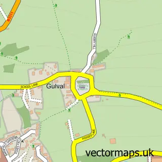
This Mousehole street map is a detailed vector street map covering a 750m x 750m area. Select a larger area to create and download your own vector street map of Mousehole.
The 750-metre map sample for Mousehole covers 198 mapped buildings and approximately 8.6 km of road detail, of which 31 named roads are named. The immediate area includes 1 school, 3 pubs and 1 MOT station, with 3 within 2 miles. The wider area around Mousehole features 2 tourism points of interest, 9 food and drink venues and 5 hotels. To create a larger or custom map of Mousehole, the map builder lets you define your own coverage area and download editable SVG, PDF and PNG files.
Create a larger editable map of Mousehole
Choose any area you need and generate a high-quality vector map instantly. Perfect for print, planning, design, business and personal use.

This Mousehole street map in Cornwall is available as downloadable SVG, PDF and PNG map files, or as a printed map for planning, business, display, education, local information and design work. You can also create a larger custom map area using the map selector.
What this Mousehole map sample shows
Mousehole is a village in Cornwall, recorded in the UK street map gallery with associated local administrative and mapping data.
Local features near Mousehole
Within 2 milesAmenities and services in and around Mousehole.
Administrative and postcode information for Mousehole
Mousehole is a village in Cornwall, recorded in the UK street map gallery with associated local administrative and mapping data.
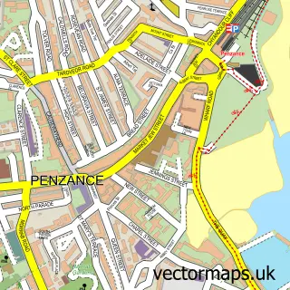
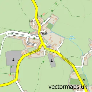
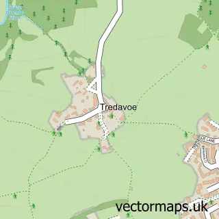
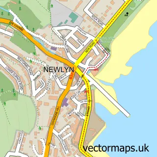
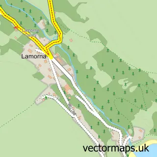
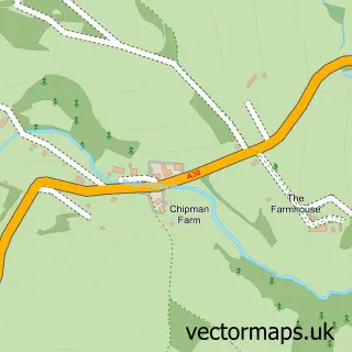
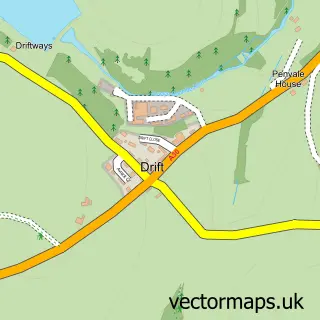
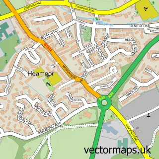
Nearby street map samples around Mousehole

More street maps in Cornwall
750 metre map area coverage
Boundary, postcode and point of interest information for the 750m x 750m rectangle centred on this sample map.
Boundaries containing map centre
Constituency: St. Ives Co Const
District: Cornwall
Icb: NHS Cornwall and the Isles of Scilly ICB
Parish: Penzance CP
Police Force: devon and cornwall
Postcode District: TR19
Postcode Sector: TR19 6
Nearby boundaries intersecting sample
Parish: St. Buryan, Lamorna and Paul CP
Postcode coverage
POI category counts
Holiday Rental Home: 7
Cottage: 5
Flowers And Gifts Shop: 5
Hotel: 5
Cafe: 4
Art Gallery: 3
Pub: 3
Restaurant: 2
Self Catering Accommodation: 2
Structure And Geography: 2
Sample points of interest
- Nigel Hallard
- The Little Picture Gallery - Mousehole Cornwall.
- The Mowzer Gallery
- The Tyler Gallery
- Mousehole Adventure
- R C Harding & Son
- The Old Bakehouse
- British Legion, Mousehole
- Terri Louisa Beauty and Holistics
- The Old Pilchard Works
- Cormorant Cruising
- Crystal Clear Cleaning
Create a larger editable map of Mousehole
This sample shows only a 750 metre area. To create a larger map of Mousehole, use our map builder to choose your own coverage area, add titles and download editable SVG, PDF and PNG files.
Create a custom map of Mousehole