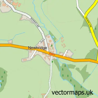
This Heamoor street map is a detailed vector street map covering a 750m x 750m area. Select a larger area to create and download your own vector street map of Heamoor.
The 750-metre map sample for Heamoor covers 399 mapped buildings and approximately 21.6 km of road detail, of which 38 named roads are named. The immediate area includes 1 primary school and 1 secondary school, 4 GP surgeries within 2 miles, 1 pub and 8 MOT stations within 2 miles. The wider area around Heamoor features 1 tourism point of interest, 3 food and drink venues and 3 campsites within 2 miles. To create a larger or custom map of Heamoor, the map builder lets you define your own coverage area and download editable SVG, PDF and PNG files.
Create a larger editable map of Heamoor
Choose any area you need and generate a high-quality vector map instantly. Perfect for print, planning, design, business and personal use.

This Heamoor street map in Cornwall is available as downloadable SVG, PDF and PNG map files, or as a printed map for planning, business, display, education, local information and design work. You can also create a larger custom map area using the map selector.
What this Heamoor map sample shows
Heamoor lies within Penzance Cp parish, part of Gulval And Heamoor ward in the Cornwall local authority area. The postcode geography for this area includes the TR postcode area, the TR18 postcode district and the TR18 3 postcode sector. Residents fall under the Nhs Cornwall And The Isles Of Scilly Integrated Care Board for NHS services.
Local features near Heamoor
Within 2 milesAmenities and services in and around Heamoor.
Administrative and postcode information for Heamoor
The local authority covering Heamoor is Cornwall, within the county of Cornwall. The settlement lies within Gulval And Heamoor ward and Penzance Cp civil parish. The TR18 postcode district and TR18 3 postcode sector serve the immediate area. NHS provision in the area is delivered through Royal Cornwall Hospitals Nhs Trust.
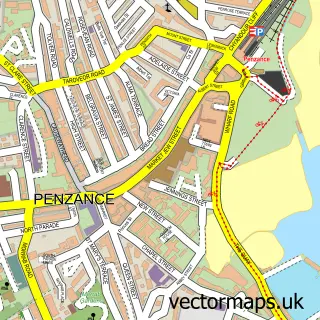
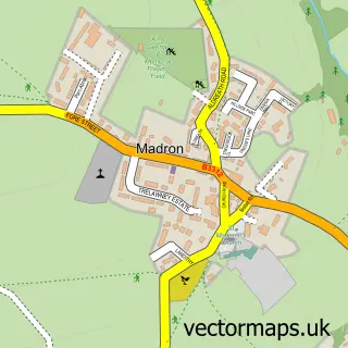
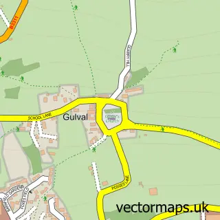
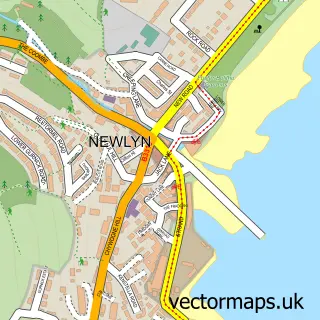
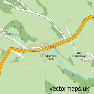
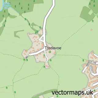
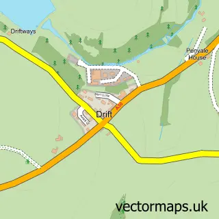
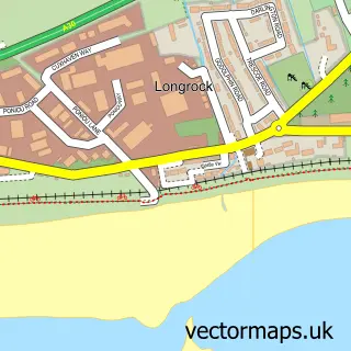
Nearby street map samples around Heamoor

More street maps in Cornwall
750 metre map area coverage
Boundary, postcode and point of interest information for the 750m x 750m rectangle centred on this sample map.
Boundaries containing map centre
Constituency: St. Ives Co Const
District: Cornwall
Icb: NHS Cornwall and the Isles of Scilly ICB
Parish: Penzance CP
Police Force: devon and cornwall
Postcode District: TR18
Postcode Sector: TR18 3
Nearby boundaries intersecting sample
Parish: Madron CP
Postcode District: TR20
Postcode Sector: TR18 4, TR20 8
Postcode coverage
POI category counts
Arts And Entertainment: 2
Clothing Store: 2
Medical Center: 2
Scout Hall: 2
Sports Club And League: 2
Anglican Church: 1
Auto Electrical Repair: 1
Beauty Salon: 1
Campground: 1
Church Cathedral: 1
Sample points of interest
- Heamoor: St Thomas
- Mark's Ark Wildlife Encounters
- The Copper Works Newlyn
- Dave Lord Aerials & Satellite Tv
- Radiance Rebel
- Bone Valley
- Wesley Rock Methodist Church, Heamoor
- Rapid Spirit
- Sheila Brough
- Cornerstone Heamoor
- John Daniel Centre
- Ben Luck Building and Maintenance
Create a larger editable map of Heamoor
This sample shows only a 750 metre area. To create a larger map of Heamoor, use our map builder to choose your own coverage area, add titles and download editable SVG, PDF and PNG files.
Create a custom map of Heamoor