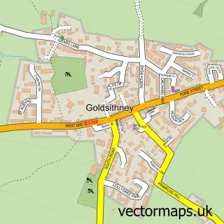
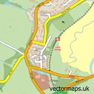
This Ludgvan street map is a detailed vector street map covering a 750m x 750m area. Select a larger area to create and download your own vector street map of Ludgvan.
The 750-metre map sample for Ludgvan covers 127 mapped buildings and approximately 8.6 km of road detail, of which 5 named roads are named. The immediate area includes 1 GP surgery within 2 miles, 1 pub and 8 MOT stations within 2 miles. The wider area around Ludgvan features 1 food and drink venue, 1 hotel and 4 campsites within 2 miles. To create a larger or custom map of Ludgvan, the map builder lets you define your own coverage area and download editable SVG, PDF and PNG files.
Create a larger editable map of Ludgvan
Choose any area you need and generate a high-quality vector map instantly. Perfect for print, planning, design, business and personal use.

This Ludgvan street map in Cornwall is available as downloadable SVG, PDF and PNG map files, or as a printed map for planning, business, display, education, local information and design work. You can also create a larger custom map area using the map selector.
What this Ludgvan map sample shows
Ludgvan lies within Ludgvan Cp parish, part of Ludgvan ward in the Cornwall local authority area. The postcode geography for this area includes the TR postcode area, the TR20 postcode district and the TR20 8 postcode sector. Residents fall under the Nhs Cornwall And The Isles Of Scilly Integrated Care Board for NHS services.
Local features near Ludgvan
Within 2 milesAmenities and services in and around Ludgvan.
Administrative and postcode information for Ludgvan
Ludgvan lies within Ludgvan Cp parish, part of Ludgvan ward in the Cornwall local authority area. The postcode geography for this area includes the TR postcode area, the TR20 postcode district and the TR20 8 postcode sector. Residents fall under the Nhs Cornwall And The Isles Of Scilly Integrated Care Board for NHS services.
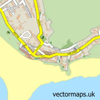
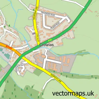
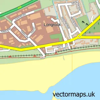
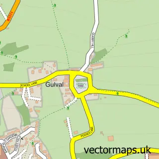
Nearby street map samples around Ludgvan

More street maps in Cornwall
750 metre map area coverage
Boundary, postcode and point of interest information for the 750m x 750m rectangle centred on this sample map.
Boundaries containing map centre
Constituency: St. Ives Co Const
District: Cornwall
Icb: NHS Cornwall and the Isles of Scilly ICB
Parish: Ludgvan CP
Police Force: devon and cornwall
Postcode District: TR20
Postcode Sector: TR20 8
Nearby boundaries intersecting sample
No additional intersecting boundaries found.
Postcode coverage
POI category counts
Anglican Church: 2
Agricultural Service: 1
Child Care And Day Care: 1
Community Center: 1
Education: 1
Elementary School: 1
Financial Service: 1
Gym: 1
Hotel: 1
Interior Design: 1
Sample points of interest
- Mole Valley Farmers - Penzance
- Ludgvan: St Paul
- St. Paul's Church
- The Oasis
- Ludgvan Community Centre
- My Amazing Mind
- Ludgvan Community Primary School
- Cornwall Merchant Services
- Ludgvan Lions JFC
- The Old Primary School Cottage
- Allsopp Design
- The White Hart
Create a larger editable map of Ludgvan
This sample shows only a 750 metre area. To create a larger map of Ludgvan, use our map builder to choose your own coverage area, add titles and download editable SVG, PDF and PNG files.
Create a custom map of Ludgvan