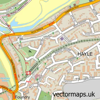
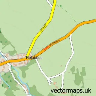
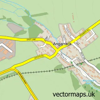
This St Erth street map is a detailed vector street map covering a 750m x 750m area. Select a larger area to create and download your own vector street map of St Erth.
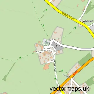
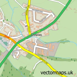
The 750-metre map sample for St Erth covers 215 mapped buildings and approximately 10.6 km of road detail, of which 20 named roads are named. The immediate area includes 1 school, 1 GP surgery within 2 miles, 1 pub and 3 MOT stations within 2 miles. The wider area around St Erth features 3 tourism points of interest, 1 food and drink venue and 3 hotels. To create a larger or custom map of St Erth, the map builder lets you define your own coverage area and download editable SVG, PDF and PNG files.
Create a larger editable map of St Erth
Choose any area you need and generate a high-quality vector map instantly. Perfect for print, planning, design, business and personal use.

This St Erth street map in Cornwall is available as downloadable SVG, PDF and PNG map files, or as a printed map for planning, business, display, education, local information and design work. You can also create a larger custom map area using the map selector.
What this St Erth map sample shows
St Erth lies within St. Erth Cp parish, part of Gwinear-Gwithian And St Erth ward in the Cornwall local authority area. The postcode geography for this area includes the TR postcode area, the TR27 postcode district and the TR27 6 postcode sector. Residents fall under the Nhs Cornwall And The Isles Of Scilly Integrated Care Board for NHS services.
Local features near St Erth
Within 2 milesAmenities and services in and around St Erth.
Administrative and postcode information for St Erth
The local authority covering St Erth is Cornwall, within the county of Cornwall. The settlement lies within Gwinear-Gwithian And St Erth ward and St. Erth Cp civil parish. The TR27 postcode district and TR27 6 postcode sector serve the immediate area. NHS provision in the area is delivered through Royal Cornwall Hospitals Nhs Trust.
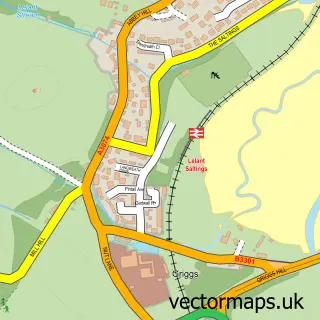
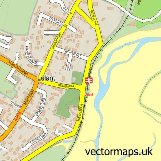
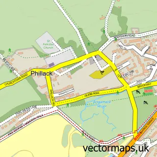
Nearby street map samples around St Erth

More street maps in Cornwall
750 metre map area coverage
Boundary, postcode and point of interest information for the 750m x 750m rectangle centred on this sample map.
Boundaries containing map centre
Constituency: St. Ives Co Const
District: Cornwall
Icb: NHS Cornwall and the Isles of Scilly ICB
Parish: St. Erth CP
Police Force: devon and cornwall
Postcode District: TR27
Postcode Sector: TR27 6
Nearby boundaries intersecting sample
No additional intersecting boundaries found.
Postcode coverage
POI category counts
Hotel: 3
It Service And Computer Repair: 2
Post Office: 2
Business Management Services: 1
Church Cathedral: 1
Elementary School: 1
Event Photography: 1
Fishing Club: 1
Graphic Designer: 1
Home Service: 1
Sample points of interest
- All Aerials
- Saint Erth Methodist Church
- St Erth Community Primary School
- Ansum Film Productions
- BK Fisheries
- Plant Life Creative
- Helen's Befriending Service
- Anvil House Accommodation
- Cosy Nook Holiday cottage
- Skippers Retreat - St Erth
- Applied Software
- Mobile Computer Support
Create a larger editable map of St Erth
This sample shows only a 750 metre area. To create a larger map of St Erth, use our map builder to choose your own coverage area, add titles and download editable SVG, PDF and PNG files.
Create a custom map of St Erth