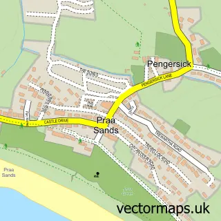
This Goldsithney street map is a detailed vector street map covering a 750m x 750m area. Select a larger area to create and download your own vector street map of Goldsithney.
The 750-metre map sample for Goldsithney covers 342 mapped buildings and approximately 12.3 km of road detail, of which 24 named roads are named. The immediate area includes 1 GP surgery within 2 miles, 3 pubs and 1 MOT station within 2 miles. The wider area around Goldsithney features 1 tourism point of interest, 3 food and drink venues and 6 campsites within 2 miles. To create a larger or custom map of Goldsithney, the map builder lets you define your own coverage area and download editable SVG, PDF and PNG files.
Create a larger editable map of Goldsithney
Choose any area you need and generate a high-quality vector map instantly. Perfect for print, planning, design, business and personal use.

This Goldsithney street map in Cornwall is available as downloadable SVG, PDF and PNG map files, or as a printed map for planning, business, display, education, local information and design work. You can also create a larger custom map area using the map selector.
What this Goldsithney map sample shows
Goldsithney lies within Perranuthnoe Cp parish, part of Marazion And Perranuthnoe ward in the Cornwall local authority area. The postcode geography for this area includes the TR postcode area, the TR20 postcode district and the TR20 9 postcode sector. Residents fall under the Nhs Cornwall And The Isles Of Scilly Integrated Care Board for NHS services.
Local features near Goldsithney
Within 2 milesAmenities and services in and around Goldsithney.
Administrative and postcode information for Goldsithney
Goldsithney lies within Perranuthnoe Cp parish, part of Marazion And Perranuthnoe ward in the Cornwall local authority area. The postcode geography for this area includes the TR postcode area, the TR20 postcode district and the TR20 9 postcode sector. Residents fall under the Nhs Cornwall And The Isles Of Scilly Integrated Care Board for NHS services.
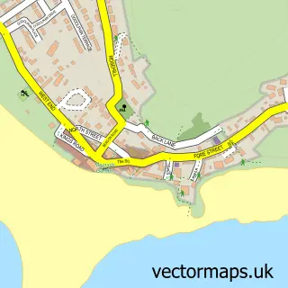
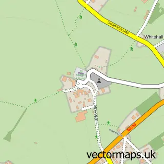
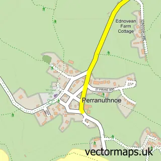
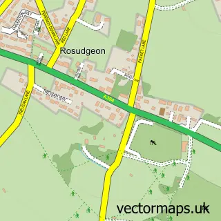
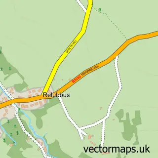
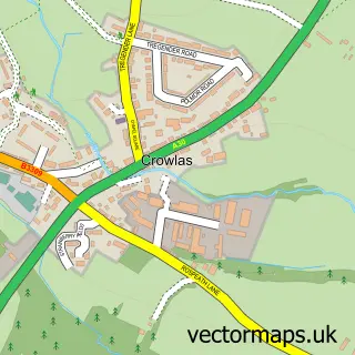
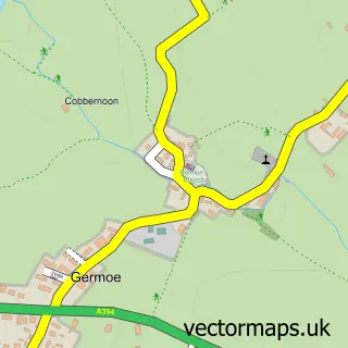
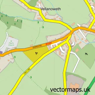
Nearby street map samples around Goldsithney

More street maps in Cornwall
750 metre map area coverage
Boundary, postcode and point of interest information for the 750m x 750m rectangle centred on this sample map.
Boundaries containing map centre
Constituency: St. Ives Co Const
District: Cornwall
Icb: NHS Cornwall and the Isles of Scilly ICB
Parish: Perranuthnoe CP
Police Force: devon and cornwall
Postcode District: TR20
Postcode Sector: TR20 9
Nearby boundaries intersecting sample
Parish: St. Hilary CP
Postcode coverage
POI category counts
Pub: 3
Adult Education: 1
Beauty And Spa: 1
Business Management Services: 1
Church Cathedral: 1
Community Center: 1
Contractor: 1
Convenience Store: 1
Cremation Services: 1
Gift Shop: 1
Sample points of interest
- A1 Health & Safety - Cornwall
- Rosali Bliss Beauty & Holistic Therapies Penzance
- Genius Loci
- Goldsithney Methodist Church
- St Pirans Hall Goldsithney
- Renov8 Cornwall
- The Stores Goldsithney
- Charles Bryant Funeral Directors
- Autographs4every1
- Tregurtha Downs Livery Yard
- Rosali Bliss Beauty Salon & Holistic Therapies Penzance
- Goldsithney Stores
Create a larger editable map of Goldsithney
This sample shows only a 750 metre area. To create a larger map of Goldsithney, use our map builder to choose your own coverage area, add titles and download editable SVG, PDF and PNG files.
Create a custom map of Goldsithney