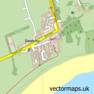
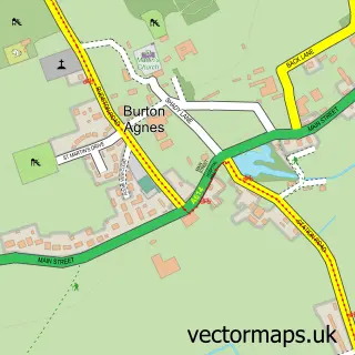
This Bridlington street map is a detailed vector street map covering a 750m x 750m area. Select a larger area to create and download your own vector street map of Bridlington.
The 750-metre map sample for Bridlington covers 195 mapped buildings and approximately 18.9 km of road detail, of which 56 named roads are named. The immediate area includes 2 GP surgeries within 2 miles, 21 pubs and 16 MOT stations within 2 miles. The wider area around Bridlington features 18 tourism points of interest, 72 food and drink venues and 34 hotels. To create a larger or custom map of Bridlington, the map builder lets you define your own coverage area and download editable SVG, PDF and PNG files.
Create a larger editable map of Bridlington
Choose any area you need and generate a high-quality vector map instantly. Perfect for print, planning, design, business and personal use.

This Bridlington street map in East Riding of Yorkshire is available as downloadable SVG, PDF and PNG map files, or as a printed map for planning, business, display, education, local information and design work. You can also create a larger custom map area using the map selector.
What this Bridlington map sample shows
Bridlington lies within Bridlington Cp parish, part of Bridlington South ward in the East Riding Of Yorkshire local authority area. The postcode geography for this area includes the YO postcode area, the YO16 postcode district and the YO16 4 postcode sector. Residents fall under the Nhs Humber And North Yorkshire Integrated Care Board for NHS services.
Local features near Bridlington
Within 2 milesAmenities and services in and around Bridlington.
Administrative and postcode information for Bridlington
Bridlington lies within Bridlington Cp parish, part of Bridlington South ward in the East Riding Of Yorkshire local authority area. The postcode geography for this area includes the YO postcode area, the YO16 postcode district and the YO16 4 postcode sector. Residents fall under the Nhs Humber And North Yorkshire Integrated Care Board for NHS services.
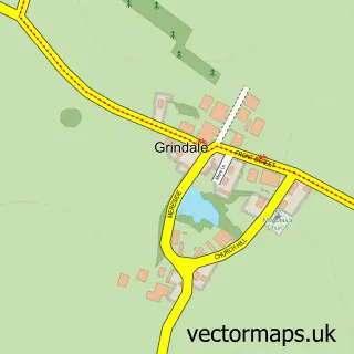
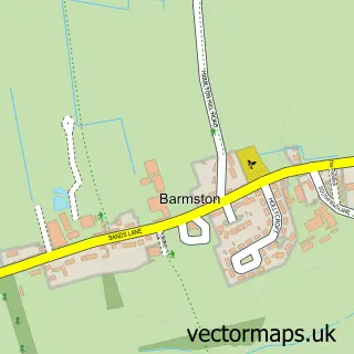
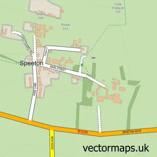
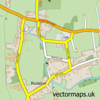
Nearby street map samples around Bridlington

More street maps in East Riding of Yorkshire
750 metre map area coverage
Boundary, postcode and point of interest information for the 750m x 750m rectangle centred on this sample map.
Boundaries containing map centre
Constituency: Bridlington and The Wolds Co Const
District: East Riding of Yorkshire
Icb: NHS Humber and North Yorkshire ICB
Parish: Bridlington CP
Police Force: humberside
Postcode District: YO15
Postcode Sector: YO15 2
Ward: Bridlington South Ward
Nearby boundaries intersecting sample
Postcode District: YO16
Postcode Sector: YO15 3, YO16 4
Ward: Bridlington North Ward
Postcode coverage
POI category counts
Hotel: 34
Cafe: 28
Bed And Breakfast: 24
Beauty Salon: 23
Pub: 21
Flowers And Gifts Shop: 18
Bar: 16
Fish And Chips Restaurant: 15
Hair Salon: 15
Clothing Store: 14
Sample points of interest
- Bondville Model Village
- A.S Accountancy, Bookkeeping & Consultancy Ltd
- Bridlington Clubbercise
- Bridlington Speedboats
- The Forum Leisure Complex
- Bridlington Swimming Club
- The George Pub, Premier League Darts
- Buffalos American Steakhouse
- Bayside Fun Park
- Chapmans Funland
- East Coast Leisure
- Harrison Leisure
Create a larger editable map of Bridlington
This sample shows only a 750 metre area. To create a larger map of Bridlington, use our map builder to choose your own coverage area, add titles and download editable SVG, PDF and PNG files.
Create a custom map of Bridlington