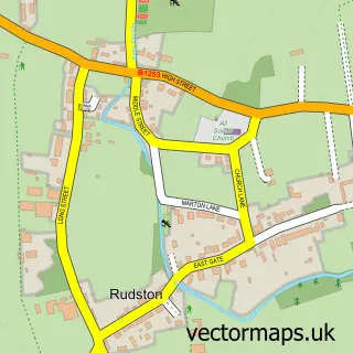
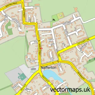
This Burton Agnes street map is a detailed vector street map covering a 750m x 750m area. Select a larger area to create and download your own vector street map of Burton Agnes.
The 750-metre map sample for Burton Agnes covers 134 mapped buildings and approximately 10.2 km of road detail, of which 9 named roads are named. The immediate area includes 1 school. The wider area around Burton Agnes features 2 tourism points of interest, 2 food and drink venues and 2 hotels. To create a larger or custom map of Burton Agnes, the map builder lets you define your own coverage area and download editable SVG, PDF and PNG files.
Create a larger editable map of Burton Agnes
Choose any area you need and generate a high-quality vector map instantly. Perfect for print, planning, design, business and personal use.

This Burton Agnes street map in East Riding of Yorkshire is available as downloadable SVG, PDF and PNG map files, or as a printed map for planning, business, display, education, local information and design work. You can also create a larger custom map area using the map selector.
What this Burton Agnes map sample shows
Burton Agnes lies within Burton Agnes Cp parish, part of East Wolds And Coastal ward in the East Riding Of Yorkshire local authority area. The postcode geography for this area includes the YO postcode area, the YO25 postcode district and the YO25 4 postcode sector. Residents fall under the Nhs Humber And North Yorkshire Integrated Care Board for NHS services.
Local features near Burton Agnes
Within 2 milesAmenities and services in and around Burton Agnes.
Administrative and postcode information for Burton Agnes
The local authority covering Burton Agnes is East Riding Of Yorkshire, within the county of East Riding Of Yorkshire. The settlement lies within East Wolds And Coastal ward and Burton Agnes Cp civil parish. The YO25 postcode district and YO25 4 postcode sector serve the immediate area. NHS provision in the area is delivered through York And Scarborough Teaching Hospitals Nhs Foundation Trust.
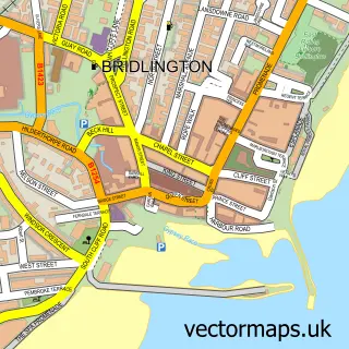
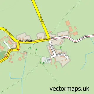
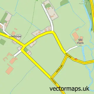
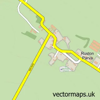
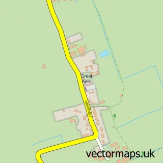
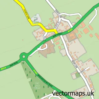
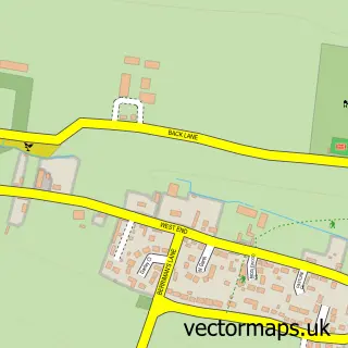
Nearby street map samples around Burton Agnes

More street maps in East Riding of Yorkshire
750 metre map area coverage
Boundary, postcode and point of interest information for the 750m x 750m rectangle centred on this sample map.
Boundaries containing map centre
Constituency: Bridlington and The Wolds Co Const
District: East Riding of Yorkshire
Icb: NHS Humber and North Yorkshire ICB
Parish: Burton Agnes CP
Police Force: humberside
Postcode District: YO25
Postcode Sector: YO25 4
Ward: East Wolds and Coastal Ward
Nearby boundaries intersecting sample
No additional intersecting boundaries found.
Postcode coverage
POI category counts
Hotel: 2
Anglican Church: 1
Animal Shelter: 1
Attractions And Activities: 1
Cafe: 1
Church Cathedral: 1
Horse Boarding: 1
Landmark And Historical Building: 1
Landscaping: 1
Metal Fabricator: 1
Sample points of interest
- St Martin, Burton Agnes
- Mere Farm Cattery
- Burton Agnes Manor House
- The Courtyard Cafe
- The Church of Saint Martin, Burton Agnes
- Burton Agnes livery yard
- The Blue Bell Hotel
- The Bluebell
- Burton Agnes Hall
- AMR Garden Services
- David Cooper Blacksmiths
- Burton Agnes Manor House
Create a larger editable map of Burton Agnes
This sample shows only a 750 metre area. To create a larger map of Burton Agnes, use our map builder to choose your own coverage area, add titles and download editable SVG, PDF and PNG files.
Create a custom map of Burton Agnes