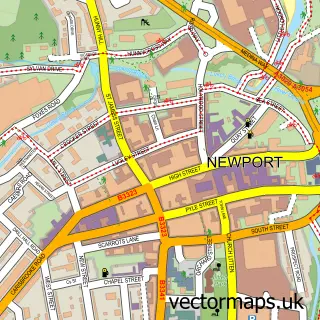
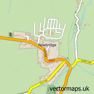
This Brighstone street map is a detailed vector street map covering a 750m x 750m area. Select a larger area to create and download your own vector street map of Brighstone.
The 750-metre map sample for Brighstone covers 381 mapped buildings and approximately 11.8 km of road detail, of which 21 named roads are named. The immediate area includes 1 school, 1 GP surgery within 2 miles and 1 pub. The wider area around Brighstone features 3 tourism points of interest, 2 food and drink venues and 1 campsite within 2 miles. To create a larger or custom map of Brighstone, the map builder lets you define your own coverage area and download editable SVG, PDF and PNG files.
Create a larger editable map of Brighstone
Choose any area you need and generate a high-quality vector map instantly. Perfect for print, planning, design, business and personal use.

This Brighstone street map in Isle of Wight is available as downloadable SVG, PDF and PNG map files, or as a printed map for planning, business, display, education, local information and design work. You can also create a larger custom map area using the map selector.
What this Brighstone map sample shows
Brighstone lies within Brighstone Cp parish, part of Central Wight ward in the Isle Of Wight local authority area. The postcode geography for this area includes the PO postcode area, the PO30 postcode district and the PO30 4 postcode sector. Residents fall under the Nhs Hampshire And Isle Of Wight Integrated Care Board for NHS services.
Local features near Brighstone
Within 2 milesAmenities and services in and around Brighstone.
Administrative and postcode information for Brighstone
Brighstone lies within Brighstone Cp parish, part of Central Wight ward in the Isle Of Wight local authority area. The postcode geography for this area includes the PO postcode area, the PO30 postcode district and the PO30 4 postcode sector. Residents fall under the Nhs Hampshire And Isle Of Wight Integrated Care Board for NHS services.
Nearby street map samples around Brighstone

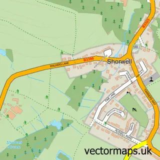
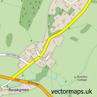
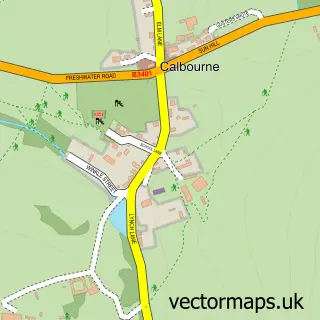
More street maps in Isle of Wight
750 metre map area coverage
Boundary, postcode and point of interest information for the 750m x 750m rectangle centred on this sample map.
Boundaries containing map centre
Constituency: Isle of Wight West Co Const
District: Isle of Wight
Icb: NHS Hampshire and Isle of Wight ICB
Parish: Brighstone CP
Police Force: hampshire
Postcode District: PO30
Postcode Sector: PO30 4
Nearby boundaries intersecting sample
No additional intersecting boundaries found.
Postcode coverage
POI category counts
Anglican Church: 2
Convenience Store: 2
Landmark And Historical Building: 2
Post Office: 2
Active Life: 1
Beauty Salon: 1
Bed And Breakfast: 1
Beverage Store: 1
Boat Rental And Training: 1
Books Mags Music And Video: 1
Sample points of interest
- Brighstone Social Club
- St Mary the Virgin, Brighstone
- St Mary's Church
- 1-2-1 Hairdressing
- Homelea B&B Brighstone Isle of Wight
- Brighstone Village Shop
- Wight Sapphire
- Shorwell Post Office
- Londis THE VILLAGE SHOP
- The Village Shop
- Coralesce
- Brighstone Church of England Primary School
Create a larger editable map of Brighstone
This sample shows only a 750 metre area. To create a larger map of Brighstone, use our map builder to choose your own coverage area, add titles and download editable SVG, PDF and PNG files.
Create a custom map of Brighstone