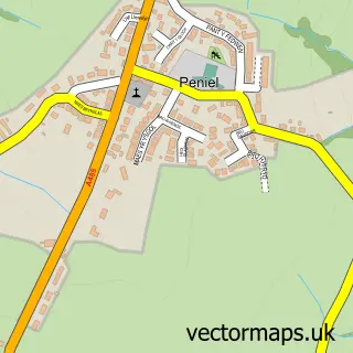
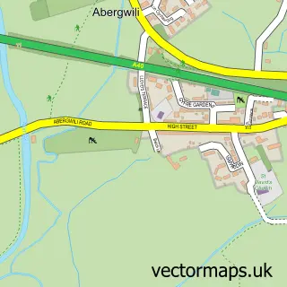
This Bronwydd street map is a detailed vector street map covering a 750m x 750m area. Select a larger area to create and download your own vector street map of Bronwydd.
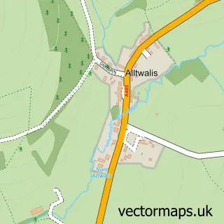
The 750-metre map sample for Bronwydd covers 104 mapped buildings and approximately 9.3 km of road detail, of which 3 named roads are named. The immediate area includes 1 MOT station within 2 miles. The wider area around Bronwydd features 1 hotel. To create a larger or custom map of Bronwydd, the map builder lets you define your own coverage area and download editable SVG, PDF and PNG files.
Create a larger editable map of Bronwydd
Choose any area you need and generate a high-quality vector map instantly. Perfect for print, planning, design, business and personal use.

This Bronwydd street map in Dyfed is available as downloadable SVG, PDF and PNG map files, or as a printed map for planning, business, display, education, local information and design work. You can also create a larger custom map area using the map selector.
What this Bronwydd map sample shows
Bronwydd lies within Bronwydd Community parish, part of Cynwyl Elfed ward in the Sir Gaerfyrddin - Carmarthenshire local authority area. The postcode geography for this area includes the SA postcode area, the SA33 postcode district and the SA33 6 postcode sector. Residents fall under the Hywel Dda University Health Board for NHS services.
Local features near Bronwydd
Within 2 milesAmenities and services in and around Bronwydd.
Administrative and postcode information for Bronwydd
Bronwydd lies within Bronwydd Community parish, part of Cynwyl Elfed ward in the Sir Gaerfyrddin - Carmarthenshire local authority area. The postcode geography for this area includes the SA postcode area, the SA33 postcode district and the SA33 6 postcode sector. Residents fall under the Hywel Dda University Health Board for NHS services.
Nearby street map samples around Bronwydd

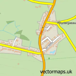
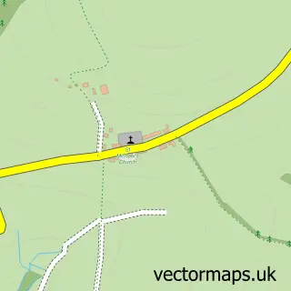
More street maps in Dyfed
750 metre map area coverage
Boundary, postcode and point of interest information for the 750m x 750m rectangle centred on this sample map.
Boundaries containing map centre
Constituency: Caerfyrddin Co Const
District: Sir Gaerfyrddin - Carmarthenshire
Icb: Hywel Dda
Parish: Bronwydd Community
Police Force: dyfed-powys
Postcode District: SA33
Postcode Sector: SA33 6
Nearby boundaries intersecting sample
Postcode District: SA32
Postcode Sector: SA32 7
Postcode coverage
POI category counts
Agricultural Service: 1
Amateur Sports Team: 1
Contractor: 1
Hotel: 1
Industrial Equipment: 1
Sports Club And League: 1
Town Hall: 1
Sample points of interest
- Indian Imports Ltd Importer of VST fieldtrac tractors
- Bronwydd Short Mat Bowls Club
- Carmarthen & Swansea Drain Unblocking
- Felinfach Holiday Cottages
- Timberman LTD
- Bronwydd Cricket Club
- Bronwydd Hall
Create a larger editable map of Bronwydd
This sample shows only a 750 metre area. To create a larger map of Bronwydd, use our map builder to choose your own coverage area, add titles and download editable SVG, PDF and PNG files.
Create a custom map of Bronwydd