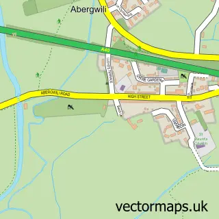
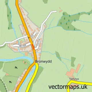
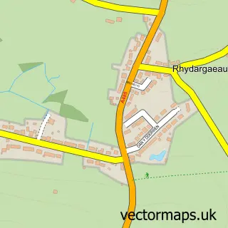
This Carmarthen street map is a detailed vector street map covering a 750m x 750m area. Select a larger area to create and download your own vector street map of Carmarthen.
The 750-metre map sample for Carmarthen covers 412 mapped buildings and approximately 20.0 km of road detail, of which 60 named roads are named. The immediate area includes 2 schools, 8 pubs and 1 MOT station, with 8 within 2 miles. The wider area around Carmarthen features 4 tourism points of interest, 33 food and drink venues and 12 hotels. To create a larger or custom map of Carmarthen, the map builder lets you define your own coverage area and download editable SVG, PDF and PNG files.
Create a larger editable map of Carmarthen
Choose any area you need and generate a high-quality vector map instantly. Perfect for print, planning, design, business and personal use.

This Carmarthen street map in Dyfed is available as downloadable SVG, PDF and PNG map files, or as a printed map for planning, business, display, education, local information and design work. You can also create a larger custom map area using the map selector.
What this Carmarthen map sample shows
Carmarthen lies within Carmarthen Community parish, part of Carmarthen Town South ward in the Sir Gaerfyrddin - Carmarthenshire local authority area. The postcode geography for this area includes the SA postcode area, the SA31 postcode district and the SA31 3 postcode sector. Residents fall under the Hywel Dda University Health Board for NHS services.
Local features near Carmarthen
Within 2 milesAmenities and services in and around Carmarthen.
Administrative and postcode information for Carmarthen
The local authority covering Carmarthen is Sir Gaerfyrddin - Carmarthenshire, within the county of Dyfed. The settlement lies within Carmarthen Town South ward and Carmarthen Community civil parish. The SA31 postcode district and SA31 3 postcode sector serve the immediate area. NHS provision in the area is delivered through Hywel Dda University Health Board.
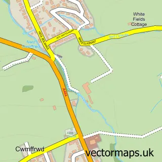
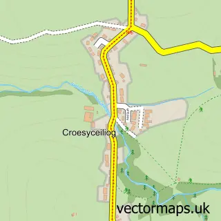
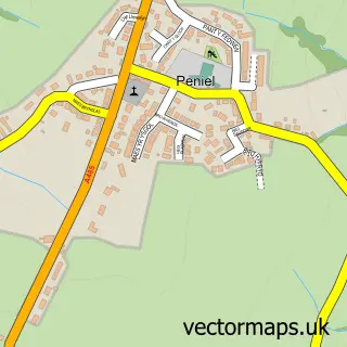
Nearby street map samples around Carmarthen

More street maps in Dyfed
750 metre map area coverage
Boundary, postcode and point of interest information for the 750m x 750m rectangle centred on this sample map.
Boundaries containing map centre
Constituency: Caerfyrddin Co Const
District: Sir Gaerfyrddin - Carmarthenshire
Icb: Hywel Dda
Parish: Carmarthen Community
Police Force: dyfed-powys
Postcode District: SA31
Postcode Sector: SA31 1
Nearby boundaries intersecting sample
Postcode Sector: SA31 3
Postcode coverage
POI category counts
Clothing Store: 20
Beauty Salon: 16
Hotel: 12
Professional Services: 11
Cafe: 10
Hair Salon: 10
Womens Clothing Store: 10
Bank Credit Union: 8
Charity Organization: 8
Coffee Shop: 8
Sample points of interest
- Clay Shaw Butler
- Eagle Accountancy
- H.D Pritchard & Co.
- Pritchard Roberts & Co
- Wynne and Co
- Foxcourt Stud
- Johnstown Leisure Centre
- Niki Oates Acupuncture
- Dr China
- Eiriol
- The Birds Jewels & Gems
- Merlin First Aid Services
Create a larger editable map of Carmarthen
This sample shows only a 750 metre area. To create a larger map of Carmarthen, use our map builder to choose your own coverage area, add titles and download editable SVG, PDF and PNG files.
Create a custom map of Carmarthen