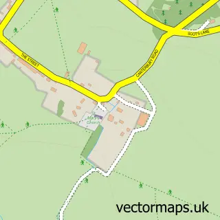
This Brook street map is a detailed vector street map covering a 750m x 750m area. Select a larger area to create and download your own vector street map of Brook.
The 750-metre map sample for Brook covers 110 mapped buildings and approximately 7.3 km of road detail, of which 5 named roads are named. The immediate area includes 1 GP surgery within 2 miles. The wider area around Brook features 2 tourism points of interest. To create a larger or custom map of Brook, the map builder lets you define your own coverage area and download editable SVG, PDF and PNG files.
Create a larger editable map of Brook
Choose any area you need and generate a high-quality vector map instantly. Perfect for print, planning, design, business and personal use.

This Brook street map in Kent is available as downloadable SVG, PDF and PNG map files, or as a printed map for planning, business, display, education, local information and design work. You can also create a larger custom map area using the map selector.
What this Brook map sample shows
Brook lies within Brook Cp parish, part of Bircholt ward in the Ashford District (B) local authority area. The postcode geography for this area includes the TN postcode area, the TN25 postcode district and the TN25 5 postcode sector. Residents fall under the Nhs Kent And Medway Integrated Care Board for NHS services.
Local features near Brook
Within 2 milesAmenities and services in and around Brook.
Administrative and postcode information for Brook
The local authority covering Brook is Ashford District (B), within the county of Kent. The settlement lies within Bircholt ward and Brook Cp civil parish. The TN25 postcode district and TN25 5 postcode sector serve the immediate area. NHS provision in the area is delivered through East Kent Hospitals University Nhs Foundation Trust.
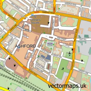
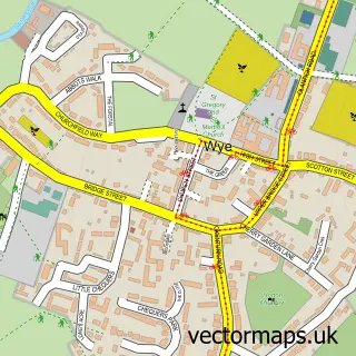
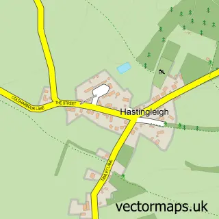
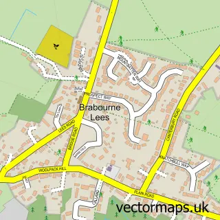
Nearby street map samples around Brook


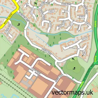
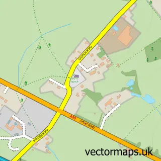
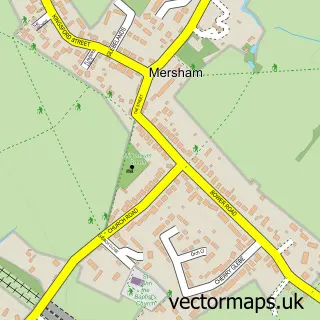
More street maps in Kent
750 metre map area coverage
Boundary, postcode and point of interest information for the 750m x 750m rectangle centred on this sample map.
Boundaries containing map centre
Constituency: Ashford Co Const
County: Kent County
District: Ashford District (B)
Icb: NHS Kent and Medway ICB
Parish: Brook CP
Police Force: kent
Postcode District: TN25
Postcode Sector: TN25 5
Ward: Bircholt Ward
Nearby boundaries intersecting sample
No additional intersecting boundaries found.
Postcode coverage
POI category counts
Museum: 2
Anglican Church: 1
Boat Rental And Training: 1
Building Contractor: 1
Church Cathedral: 1
Event Photography: 1
It Service And Computer Repair: 1
Occupational Safety: 1
Telecommunications: 1
Sample points of interest
- St Mary's Brook
- Conningbrook Lakes Sailing
- Wall Construction Ltd.
- St Mary's Church
- Funeral Filming
- Easy PC
- Brook Agricultural Museum
- Brook Rural Museum
- EHQS Compliance Limited
- New World Netcom
Create a larger editable map of Brook
This sample shows only a 750 metre area. To create a larger map of Brook, use our map builder to choose your own coverage area, add titles and download editable SVG, PDF and PNG files.
Create a custom map of Brook