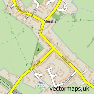
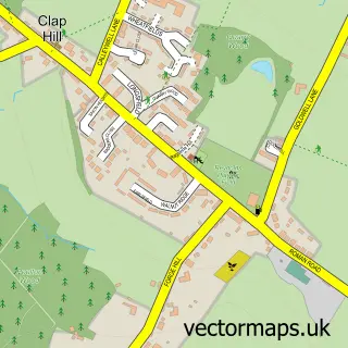
This Smeeth street map is a detailed vector street map covering a 750m x 750m area. Select a larger area to create and download your own vector street map of Smeeth.
The 750-metre map sample for Smeeth covers 71 mapped buildings and approximately 8.1 km of road detail, of which 3 named roads are named. The immediate area includes 2 MOT stations within 2 miles. The wider area around Smeeth features 1 hotel. To create a larger or custom map of Smeeth, the map builder lets you define your own coverage area and download editable SVG, PDF and PNG files.
Create a larger editable map of Smeeth
Choose any area you need and generate a high-quality vector map instantly. Perfect for print, planning, design, business and personal use.

This Smeeth street map in Kent is available as downloadable SVG, PDF and PNG map files, or as a printed map for planning, business, display, education, local information and design work. You can also create a larger custom map area using the map selector.
What this Smeeth map sample shows
Smeeth lies within Smeeth Cp parish, part of Bircholt ward in the Ashford District (B) local authority area. The postcode geography for this area includes the TN postcode area, the TN25 postcode district and the TN25 6 postcode sector. Residents fall under the Nhs Kent And Medway Integrated Care Board for NHS services.
Local features near Smeeth
Within 2 milesAmenities and services in and around Smeeth.
Administrative and postcode information for Smeeth
The local authority covering Smeeth is Ashford District (B), within the county of Kent. The settlement lies within Bircholt ward and Smeeth Cp civil parish. The TN25 postcode district and TN25 6 postcode sector serve the immediate area. NHS provision in the area is delivered through East Kent Hospitals University Nhs Foundation Trust.
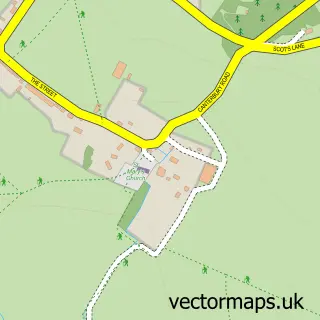
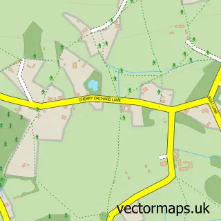
Nearby street map samples around Smeeth
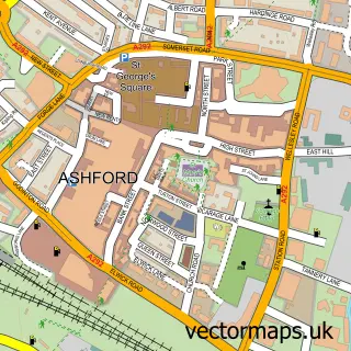

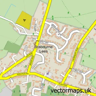
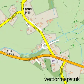


More street maps in Kent
750 metre map area coverage
Boundary, postcode and point of interest information for the 750m x 750m rectangle centred on this sample map.
Boundaries containing map centre
Constituency: Ashford Co Const
County: Kent County
District: Ashford District (B)
Icb: NHS Kent and Medway ICB
Parish: Smeeth CP
Police Force: kent
Postcode District: TN25
Postcode Sector: TN25 6
Ward: Bircholt Ward
Nearby boundaries intersecting sample
No additional intersecting boundaries found.
Postcode coverage
POI category counts
Scout Hall: 2
Anglican Church: 1
Auto Electrical Repair: 1
Auto Parts And Supply Store: 1
Bar And Grill Restaurant: 1
Elementary School: 1
Government Services: 1
Hotel: 1
Liquor Store: 1
Performing Arts: 1
Sample points of interest
- St Mary's Smeeth
- Larkin Electrical Ltd.
- Roof Box Systems
- A20 GRILL
- Caldecott Foundation School
- Dad Uk
- Orchard Cottage, Station Rd, Smeeth
- The Vinorium
- The Corinne Willson Stage Academy
- 1st Brabourne & Smeeth
- Mountbatten (Brabourne & Smeeth) Explorer Unit
Create a larger editable map of Smeeth
This sample shows only a 750 metre area. To create a larger map of Smeeth, use our map builder to choose your own coverage area, add titles and download editable SVG, PDF and PNG files.
Create a custom map of Smeeth