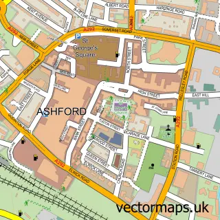
This Aldington street map is a detailed vector street map covering a 750m x 750m area. Select a larger area to create and download your own vector street map of Aldington.
The 750-metre map sample for Aldington covers 197 mapped buildings and approximately 11.2 km of road detail, of which 16 named roads are named. The immediate area includes 1 school. The wider area around Aldington features 1 tourism point of interest. To create a larger or custom map of Aldington, the map builder lets you define your own coverage area and download editable SVG, PDF and PNG files.
Create a larger editable map of Aldington
Choose any area you need and generate a high-quality vector map instantly. Perfect for print, planning, design, business and personal use.

This Aldington street map in Kent is available as downloadable SVG, PDF and PNG map files, or as a printed map for planning, business, display, education, local information and design work. You can also create a larger custom map area using the map selector.
What this Aldington map sample shows
Aldington lies within Aldington Cp parish, part of Saxon Shore ward in the Ashford District (B) local authority area. The postcode geography for this area includes the TN postcode area, the TN25 postcode district and the TN25 7 postcode sector. Residents fall under the Nhs Kent And Medway Integrated Care Board for NHS services.
Local features near Aldington
Within 2 milesAmenities and services in and around Aldington.
Administrative and postcode information for Aldington
Aldington lies within Aldington Cp parish, part of Saxon Shore ward in the Ashford District (B) local authority area. The postcode geography for this area includes the TN postcode area, the TN25 postcode district and the TN25 7 postcode sector. Residents fall under the Nhs Kent And Medway Integrated Care Board for NHS services.
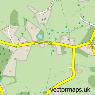
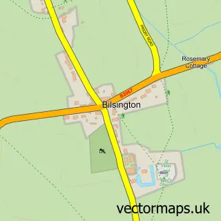
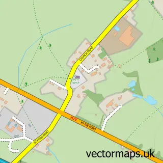
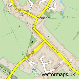
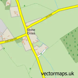
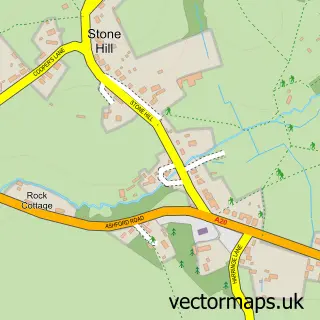
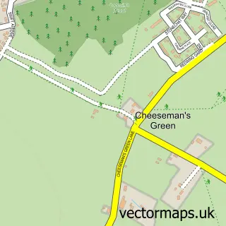
Nearby street map samples around Aldington


More street maps in Kent
750 metre map area coverage
Boundary, postcode and point of interest information for the 750m x 750m rectangle centred on this sample map.
Boundaries containing map centre
Constituency: Weald of Kent Co Const
County: Kent County
District: Ashford District (B)
Icb: NHS Kent and Medway ICB
Parish: Aldington CP
Police Force: kent
Postcode District: TN25
Postcode Sector: TN25 7
Ward: Saxon Shore Ward
Nearby boundaries intersecting sample
No additional intersecting boundaries found.
Postcode coverage
POI category counts
Assisted Living Facility: 2
Community Center: 2
Elementary School: 2
Alternative Medicine: 1
Bar: 1
Beauty Salon: 1
Butcher Shop: 1
Child Care And Day Care: 1
Convenience Store: 1
Energy Company: 1
Sample points of interest
- The Temple Tree
- Homelands
- The New Bungalow
- The Walnut Tree
- April Rose Retreat
- Aldington Fresh Foods
- Kaleidoscope Childcare
- Aldington Village Hall
- Sellindge War Memorial Hall - Village Hall
- Aldington Post Office
- Aldington Primary School
- Aldington Primary School
Create a larger editable map of Aldington
This sample shows only a 750 metre area. To create a larger map of Aldington, use our map builder to choose your own coverage area, add titles and download editable SVG, PDF and PNG files.
Create a custom map of Aldington