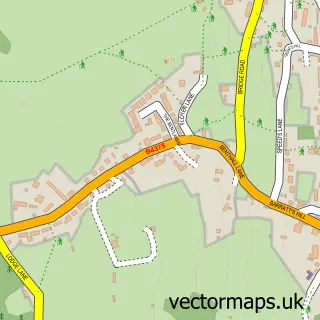
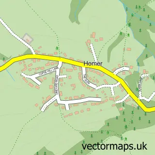
This Broseley street map is a detailed vector street map covering a 750m x 750m area. Select a larger area to create and download your own vector street map of Broseley.
The 750-metre map sample for Broseley covers 502 mapped buildings and approximately 15.5 km of road detail, of which 34 named roads are named. The immediate area includes 1 school, 1 GP surgery, with 3 within 2 miles, 5 pubs and 1 MOT station within 2 miles. The wider area around Broseley features 1 tourism point of interest, 8 food and drink venues and 4 hotels. To create a larger or custom map of Broseley, the map builder lets you define your own coverage area and download editable SVG, PDF and PNG files.
Create a larger editable map of Broseley
Choose any area you need and generate a high-quality vector map instantly. Perfect for print, planning, design, business and personal use.

This Broseley street map in Shropshire is available as downloadable SVG, PDF and PNG map files, or as a printed map for planning, business, display, education, local information and design work. You can also create a larger custom map area using the map selector.
What this Broseley map sample shows
Broseley lies within Broseley Cp parish, part of Broseley ward in the Shropshire local authority area. The postcode geography for this area includes the TF postcode area, the TF12 postcode district and the TF12 5 postcode sector. Residents fall under the Nhs Shropshire, Telford And Wrekin Integrated Care Board for NHS services.
Local features near Broseley
Within 2 milesAmenities and services in and around Broseley.
Administrative and postcode information for Broseley
The local authority covering Broseley is Shropshire, within the county of Shropshire. The settlement lies within Broseley ward and Broseley Cp civil parish. The TF12 postcode district and TF12 5 postcode sector serve the immediate area. NHS provision in the area is delivered through The Shrewsbury And Telford Hospital Nhs Trust.
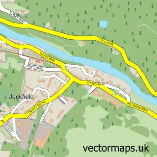
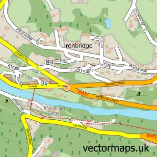
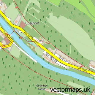
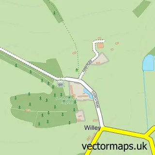
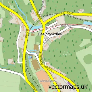
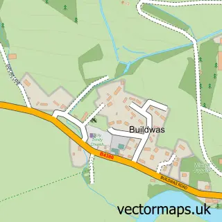
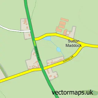
Nearby street map samples around Broseley

More street maps in Shropshire
750 metre map area coverage
Boundary, postcode and point of interest information for the 750m x 750m rectangle centred on this sample map.
Boundaries containing map centre
Constituency: South Shropshire Co Const
District: Shropshire
Icb: NHS Shropshire Telford and Wrekin ICB
Parish: Broseley CP
Police Force: west mercia
Postcode District: TF12
Postcode Sector: TF12 5
Nearby boundaries intersecting sample
Parish: Barrow CP
Postcode coverage
POI category counts
Professional Services: 5
Pub: 5
Convenience Store: 4
Hotel: 4
Beauty Salon: 3
Hair Salon: 3
Automotive Repair: 2
Beauty Product Supplier: 2
Building Supply Store: 2
Church Cathedral: 2
Sample points of interest
- Iron House
- The Angel Gallery
- Lady Forester Residential & Day Care Centre
- BR Spar Broseley
- Bailey Performance Ltd
- Dave's Auto Services
- Martins Garage
- Wyld Flour
- Lloyds Bank
- Broseley Baptist Church
- Dads & Lads
- Watt Nails & Beauty
Create a larger editable map of Broseley
This sample shows only a 750 metre area. To create a larger map of Broseley, use our map builder to choose your own coverage area, add titles and download editable SVG, PDF and PNG files.
Create a custom map of Broseley