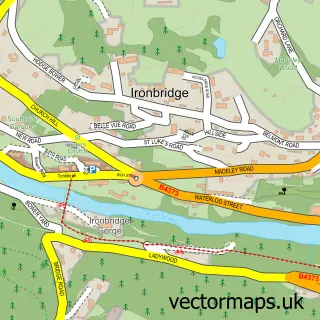
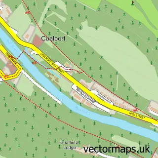
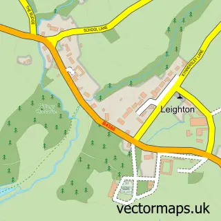
This Coalbrookdale street map is a detailed vector street map covering a 750m x 750m area. Select a larger area to create and download your own vector street map of Coalbrookdale.
The 750-metre map sample for Coalbrookdale covers 120 mapped buildings and approximately 12.9 km of road detail, of which 9 named roads are named. The immediate area includes 5 GP surgeries within 2 miles, 1 pub and 6 MOT stations within 2 miles. The wider area around Coalbrookdale features 7 tourism points of interest, 2 food and drink venues and 2 hotels. To create a larger or custom map of Coalbrookdale, the map builder lets you define your own coverage area and download editable SVG, PDF and PNG files.
Create a larger editable map of Coalbrookdale
Choose any area you need and generate a high-quality vector map instantly. Perfect for print, planning, design, business and personal use.

This Coalbrookdale street map in Shropshire is available as downloadable SVG, PDF and PNG map files, or as a printed map for planning, business, display, education, local information and design work. You can also create a larger custom map area using the map selector.
What this Coalbrookdale map sample shows
Coalbrookdale lies within The Gorge Cp parish, part of Ironbridge Gorge ward in the Telford And Wrekin (B) local authority area. The postcode geography for this area includes the TF postcode area, the TF8 postcode district and the TF8 7 postcode sector. Residents fall under the Nhs Shropshire, Telford And Wrekin Integrated Care Board for NHS services.
Local features near Coalbrookdale
Within 2 milesAmenities and services in and around Coalbrookdale.
Administrative and postcode information for Coalbrookdale
Coalbrookdale lies within The Gorge Cp parish, part of Ironbridge Gorge ward in the Telford And Wrekin (B) local authority area. The postcode geography for this area includes the TF postcode area, the TF8 postcode district and the TF8 7 postcode sector. Residents fall under the Nhs Shropshire, Telford And Wrekin Integrated Care Board for NHS services.
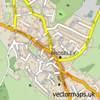
Nearby street map samples around Coalbrookdale
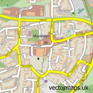

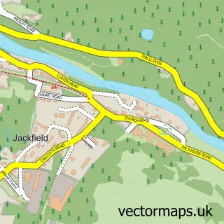
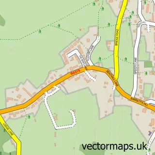
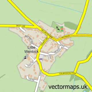
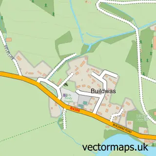
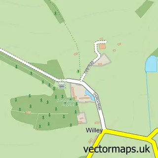
More street maps in Shropshire
750 metre map area coverage
Boundary, postcode and point of interest information for the 750m x 750m rectangle centred on this sample map.
Boundaries containing map centre
Constituency: Telford Boro Const
District: Telford and Wrekin (B)
Icb: NHS Shropshire Telford and Wrekin ICB
Parish: The Gorge CP
Police Force: west mercia
Postcode District: TF8
Postcode Sector: TF8 7
Ward: Ironbridge Gorge Ward
Nearby boundaries intersecting sample
No additional intersecting boundaries found.
Postcode coverage
POI category counts
Bed And Breakfast: 3
History Museum: 3
Anglican Church: 2
Contractor: 2
Home Improvement Store: 2
Hotel: 2
Landmark And Historical Building: 2
Museum: 2
Scout Hall: 2
Advertising Agency: 1
Sample points of interest
- Amanda Hillier Graphic Design & Illustration
- Holy Trinity Church
- Holy Trinity, Coalbrookdale
- Iron Bridge Open Air Museum of Steel Sculpture
- Autowerx Detailing - Specialist Car Care
- Foundry Masters House
- Springhill B&B
- Viaduct Guest House
- The Furnace Kitchen
- Ironbridge Gorge Trust Müzesi
- Coalbrookdale and Ironbridge Community Centre
- Brickwork & Stone Repair & Repointing
Create a larger editable map of Coalbrookdale
This sample shows only a 750 metre area. To create a larger map of Coalbrookdale, use our map builder to choose your own coverage area, add titles and download editable SVG, PDF and PNG files.
Create a custom map of Coalbrookdale