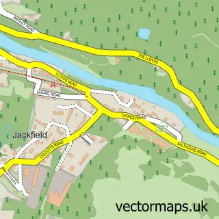
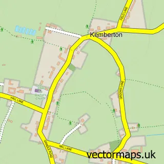
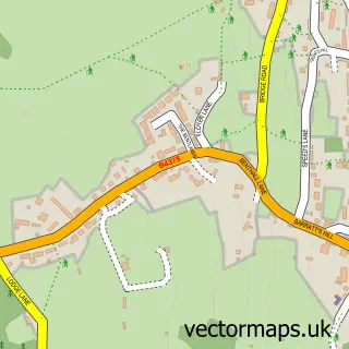
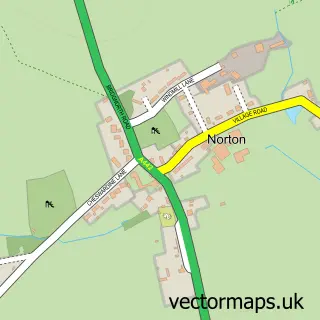
This Madeley street map is a detailed vector street map covering a 750m x 750m area. Select a larger area to create and download your own vector street map of Madeley.
The 750-metre map sample for Madeley covers 402 mapped buildings and approximately 17.7 km of road detail, of which 36 named roads are named. The immediate area includes 1 school, 1 GP surgery, with 4 within 2 miles, 3 pubs and 1 MOT station, with 11 within 2 miles. The wider area around Madeley features 1 tourism point of interest and 6 food and drink venues. To create a larger or custom map of Madeley, the map builder lets you define your own coverage area and download editable SVG, PDF and PNG files.
Create a larger editable map of Madeley
Choose any area you need and generate a high-quality vector map instantly. Perfect for print, planning, design, business and personal use.

This Madeley street map in Shropshire is available as downloadable SVG, PDF and PNG map files, or as a printed map for planning, business, display, education, local information and design work. You can also create a larger custom map area using the map selector.
What this Madeley map sample shows
Madeley lies within Madeley Cp parish, part of Madeley & Sutton Hill ward in the Telford And Wrekin (B) local authority area. The postcode geography for this area includes the TF postcode area, the TF7 postcode district and the TF7 4 postcode sector. Residents fall under the Nhs Shropshire, Telford And Wrekin Integrated Care Board for NHS services.
Local features near Madeley
Within 2 milesAmenities and services in and around Madeley.
Administrative and postcode information for Madeley
The local authority covering Madeley is Telford And Wrekin (B), within the county of Shropshire. The settlement lies within Madeley & Sutton Hill ward and Madeley Cp civil parish. The TF7 postcode district and TF7 4 postcode sector serve the immediate area. NHS provision in the area is delivered through The Shrewsbury And Telford Hospital Nhs Trust.
Nearby street map samples around Madeley

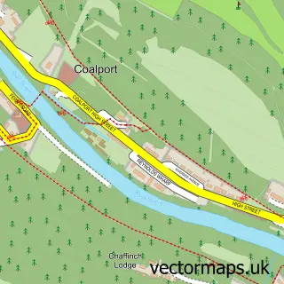
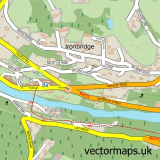
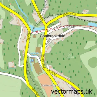
More street maps in Shropshire
750 metre map area coverage
Boundary, postcode and point of interest information for the 750m x 750m rectangle centred on this sample map.
Boundaries containing map centre
Constituency: Telford Boro Const
District: Telford and Wrekin (B)
Icb: NHS Shropshire Telford and Wrekin ICB
Parish: Madeley CP
Police Force: west mercia
Postcode District: TF7
Postcode Sector: TF7 5
Ward: Madeley & Sutton Hill Ward
Nearby boundaries intersecting sample
Postcode Sector: TF7 4
Postcode coverage
POI category counts
Beauty Salon: 9
Doctor: 6
Barber: 5
Assisted Living Facility: 4
Hair Salon: 4
Professional Services: 4
Beauty And Spa: 3
Church Cathedral: 3
Fast Food Restaurant: 3
Home Service: 3
Sample points of interest
- Azam Consultancy
- TaxAssist Accountants
- St Michael' Madeley
- St Michael's Parish Church
- Allsorts Wool And Fabric
- Lightmoor View Care Home
- The Villa Nursing Home
- The Willows
- Wrekin Housing Trust
- Motorcare
- InstaVolt
- Greggs
Create a larger editable map of Madeley
This sample shows only a 750 metre area. To create a larger map of Madeley, use our map builder to choose your own coverage area, add titles and download editable SVG, PDF and PNG files.
Create a custom map of Madeley