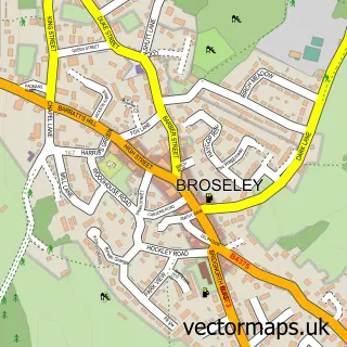
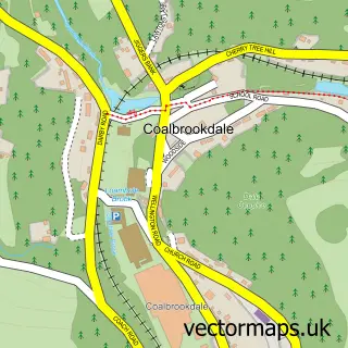
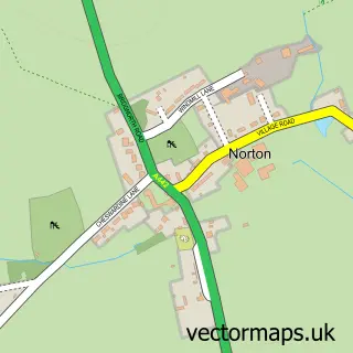
This Jackfield street map is a detailed vector street map covering a 750m x 750m area. Select a larger area to create and download your own vector street map of Jackfield.
The 750-metre map sample for Jackfield covers 125 mapped buildings and approximately 8.4 km of road detail, of which 9 named roads are named. The immediate area includes 4 GP surgeries within 2 miles, 2 pubs and 8 MOT stations within 2 miles. The wider area around Jackfield features 2 tourism points of interest, 2 food and drink venues and 1 campsite within 2 miles. To create a larger or custom map of Jackfield, the map builder lets you define your own coverage area and download editable SVG, PDF and PNG files.
Create a larger editable map of Jackfield
Choose any area you need and generate a high-quality vector map instantly. Perfect for print, planning, design, business and personal use.

This Jackfield street map in Shropshire is available as downloadable SVG, PDF and PNG map files, or as a printed map for planning, business, display, education, local information and design work. You can also create a larger custom map area using the map selector.
What this Jackfield map sample shows
Jackfield lies within The Gorge Cp parish, part of Ironbridge Gorge ward in the Telford And Wrekin (B) local authority area. The postcode geography for this area includes the TF postcode area, the TF8 postcode district and the TF8 7 postcode sector. Residents fall under the Nhs Shropshire, Telford And Wrekin Integrated Care Board for NHS services.
Local features near Jackfield
Within 2 milesAmenities and services in and around Jackfield.
Administrative and postcode information for Jackfield
Jackfield lies within The Gorge Cp parish, part of Ironbridge Gorge ward in the Telford And Wrekin (B) local authority area. The postcode geography for this area includes the TF postcode area, the TF8 postcode district and the TF8 7 postcode sector. Residents fall under the Nhs Shropshire, Telford And Wrekin Integrated Care Board for NHS services.
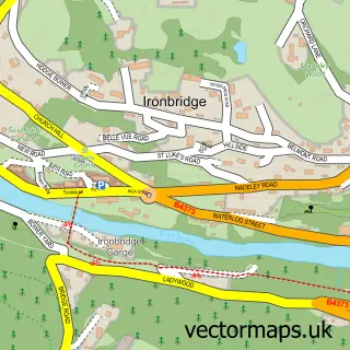
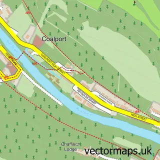
Nearby street map samples around Jackfield

More street maps in Shropshire
750 metre map area coverage
Boundary, postcode and point of interest information for the 750m x 750m rectangle centred on this sample map.
Boundaries containing map centre
Constituency: Telford Boro Const
District: Telford and Wrekin (B)
Icb: NHS Shropshire Telford and Wrekin ICB
Parish: The Gorge CP
Police Force: west mercia
Postcode District: TF8
Postcode Sector: TF8 7
Ward: Ironbridge Gorge Ward
Nearby boundaries intersecting sample
Constituency: South Shropshire Co Const
District: Shropshire
Parish: Broseley CP, Madeley CP
Postcode District: TF7
Postcode Sector: TF7 5
Ward: Madeley & Sutton Hill Ward
Postcode coverage
POI category counts
Professional Services: 4
Art Gallery: 3
Anglican Church: 2
Auto Body Shop: 2
Automotive Repair: 2
Bed And Breakfast: 2
Furniture Accessory Store: 2
Museum: 2
Pub: 2
Advertising Agency: 1
Sample points of interest
- Clive Freeman Associates
- Jackfield: St Mary
- St Mary the Virgin
- Cat Noble Glass, Fusion
- Jan Park Art
- Secret Severn Art
- Kinki Glass
- AK PRO Garage
- K&A Garage
- Mfs Garage Ltd
- Classic Garage Telford
- Telford Transit Breakers
Create a larger editable map of Jackfield
This sample shows only a 750 metre area. To create a larger map of Jackfield, use our map builder to choose your own coverage area, add titles and download editable SVG, PDF and PNG files.
Create a custom map of Jackfield