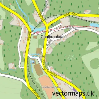
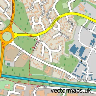
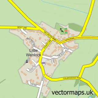
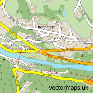
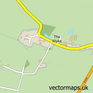
This Dawley street map is a detailed vector street map covering a 750m x 750m area. Select a larger area to create and download your own vector street map of Dawley.
The 750-metre map sample for Dawley covers 431 mapped buildings and approximately 18.5 km of road detail, of which 38 named roads are named. The immediate area includes 1 school, 1 GP surgery, with 6 within 2 miles, 6 pubs and 14 MOT stations within 2 miles. The wider area around Dawley features 13 food and drink venues. To create a larger or custom map of Dawley, the map builder lets you define your own coverage area and download editable SVG, PDF and PNG files.
Create a larger editable map of Dawley
Choose any area you need and generate a high-quality vector map instantly. Perfect for print, planning, design, business and personal use.

This Dawley street map in Shropshire is available as downloadable SVG, PDF and PNG map files, or as a printed map for planning, business, display, education, local information and design work. You can also create a larger custom map area using the map selector.
What this Dawley map sample shows
Dawley lies within Great Dawley Cp parish, part of Dawley & Aqueduct ward in the Telford And Wrekin (B) local authority area. The postcode geography for this area includes the TF postcode area, the TF4 postcode district and the TF4 3 postcode sector. Residents fall under the Nhs Shropshire, Telford And Wrekin Integrated Care Board for NHS services.
Local features near Dawley
Within 2 milesAmenities and services in and around Dawley.
Administrative and postcode information for Dawley
The local authority covering Dawley is Telford And Wrekin (B), within the county of Shropshire. The settlement lies within Dawley & Aqueduct ward and Great Dawley Cp civil parish. The TF4 postcode district and TF4 3 postcode sector serve the immediate area. NHS provision in the area is delivered through The Shrewsbury And Telford Hospital Nhs Trust.
Nearby street map samples around Dawley

More street maps in Shropshire
750 metre map area coverage
Boundary, postcode and point of interest information for the 750m x 750m rectangle centred on this sample map.
Boundaries containing map centre
Constituency: Telford Boro Const
District: Telford and Wrekin (B)
Icb: NHS Shropshire Telford and Wrekin ICB
Parish: Great Dawley CP
Police Force: west mercia
Postcode District: TF4
Postcode Sector: TF4 2
Ward: Malinslee & Dawley Bank Ward
Nearby boundaries intersecting sample
Postcode Sector: TF4 3
Ward: Dawley & Aqueduct Ward
Postcode coverage
POI category counts
Barber: 7
Pub: 6
Beauty Salon: 5
Cafe: 5
Convenience Store: 4
Bangladeshi Restaurant: 3
Building Supply Store: 3
Church Cathedral: 3
Community Center: 3
Fast Food Restaurant: 3
Sample points of interest
- Jade Renee Studios
- Our Time To Shine
- Stephen Howe
- POUND CITY AND CONVENIENCE
- PayPoint
- Mobile Automotive & Lpg
- Mitchell's Domestic Appliances
- Retro Leisure midlands
- Golden Rolls
- Bengal Spice
- Chasni
- Little Bengal Telford
Create a larger editable map of Dawley
This sample shows only a 750 metre area. To create a larger map of Dawley, use our map builder to choose your own coverage area, add titles and download editable SVG, PDF and PNG files.
Create a custom map of Dawley