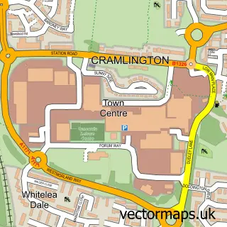
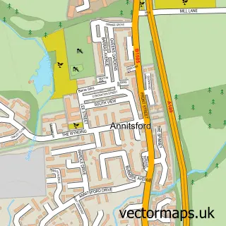
This Brunswick Village street map is a detailed vector street map covering a 750m x 750m area. Select a larger area to create and download your own vector street map of Brunswick Village.
The 750-metre map sample for Brunswick Village covers 114 mapped buildings and approximately 8.9 km of road detail, of which 19 named roads are named. The immediate area includes 3 GP surgeries within 2 miles and 5 MOT stations within 2 miles. The wider area around Brunswick Village features 1 food and drink venue. To create a larger or custom map of Brunswick Village, the map builder lets you define your own coverage area and download editable SVG, PDF and PNG files.
Create a larger editable map of Brunswick Village
Choose any area you need and generate a high-quality vector map instantly. Perfect for print, planning, design, business and personal use.

This Brunswick Village street map in Tyne & Wear is available as downloadable SVG, PDF and PNG map files, or as a printed map for planning, business, display, education, local information and design work. You can also create a larger custom map area using the map selector.
What this Brunswick Village map sample shows
Brunswick Village lies within North Tyneside District (B) parish, part of Weetslade ward in the North Tyneside District (B) local authority area. The postcode geography for this area includes the NE postcode area, the NE13 postcode district and the NE13 6 postcode sector. Residents fall under the Nhs North East And North Cumbria Integrated Care Board for NHS services.
Local features near Brunswick Village
Within 2 milesAmenities and services in and around Brunswick Village.
Administrative and postcode information for Brunswick Village
Brunswick Village lies within North Tyneside District (B) parish, part of Weetslade ward in the North Tyneside District (B) local authority area. The postcode geography for this area includes the NE postcode area, the NE13 postcode district and the NE13 6 postcode sector. Residents fall under the Nhs North East And North Cumbria Integrated Care Board for NHS services.
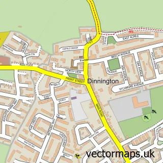
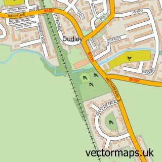
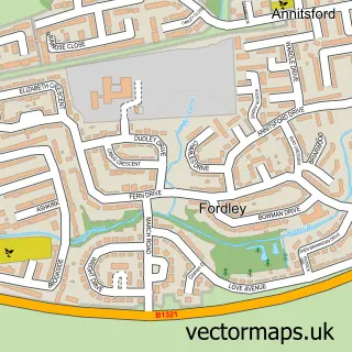
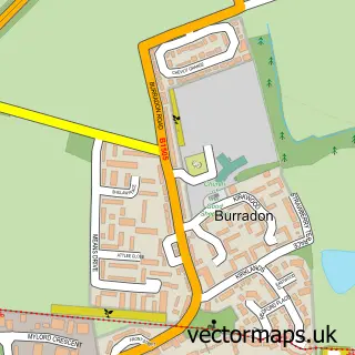
Nearby street map samples around Brunswick Village

More street maps in Tyne & Wear
750 metre map area coverage
Boundary, postcode and point of interest information for the 750m x 750m rectangle centred on this sample map.
Boundaries containing map centre
Constituency: Cramlington and Killingworth Co Const
District: Newcastle upon Tyne District (B)
Icb: NHS North East and North Cumbria ICB
Parish: Brunswick CP
Police Force: northumberland
Postcode District: NE13
Postcode Sector: NE13 7
Ward: Castle Ward
Nearby boundaries intersecting sample
District: North Tyneside District (B)
Postcode Sector: NE13 6
Ward: Weetslade Ward
Postcode coverage
POI category counts
Auto Body Shop: 2
Building Supply Store: 2
Funeral Services And Cemeteries: 2
Hair Salon: 2
Laundromat: 2
Professional Services: 2
Retail: 2
Retirement Home: 2
Anglican Church: 1
Atms: 1
Sample points of interest
- St Cuthbert's
- One Stop Grey St, Brunswick Village
- North Of England Coachworks
- WS Body and Paint Solutions
- Nigel White Vehicle Services
- The Barber shop brunswick
- Fat Cow Tallow Skincare
- Ye Olde Bulls Head
- Northern Steel Buildings
- Classical Creations
- Endura Flat Roofing Ltd
- Zerodrytime
Create a larger editable map of Brunswick Village
This sample shows only a 750 metre area. To create a larger map of Brunswick Village, use our map builder to choose your own coverage area, add titles and download editable SVG, PDF and PNG files.
Create a custom map of Brunswick Village