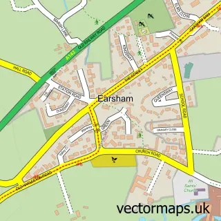
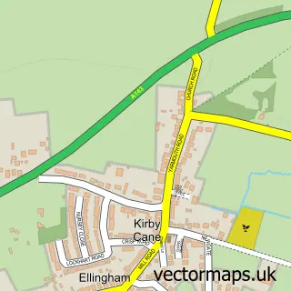
This Bungay street map is a detailed vector street map covering a 750m x 750m area. Select a larger area to create and download your own vector street map of Bungay.
The 750-metre map sample for Bungay covers 329 mapped buildings and approximately 16.7 km of road detail, of which 31 named roads are named. The immediate area includes 2 schools, 1 GP surgery within 2 miles, 8 pubs and 1 MOT station, with 3 within 2 miles. The wider area around Bungay features 3 tourism points of interest and 20 food and drink venues. To create a larger or custom map of Bungay, the map builder lets you define your own coverage area and download editable SVG, PDF and PNG files.
Create a larger editable map of Bungay
Choose any area you need and generate a high-quality vector map instantly. Perfect for print, planning, design, business and personal use.

This Bungay street map in Suffolk is available as downloadable SVG, PDF and PNG map files, or as a printed map for planning, business, display, education, local information and design work. You can also create a larger custom map area using the map selector.
What this Bungay map sample shows
Bungay lies within Bungay Cp parish, part of Bungay & Wainford ward in the East Suffolk District local authority area. The postcode geography for this area includes the NR postcode area, the NR35 postcode district and the NR35 1 postcode sector. Residents fall under the Nhs Norfolk And Waveney Integrated Care Board for NHS services.
Local features near Bungay
Within 2 milesAmenities and services in and around Bungay.
Administrative and postcode information for Bungay
Bungay lies within Bungay Cp parish, part of Bungay & Wainford ward in the East Suffolk District local authority area. The postcode geography for this area includes the NR postcode area, the NR35 postcode district and the NR35 1 postcode sector. Residents fall under the Nhs Norfolk And Waveney Integrated Care Board for NHS services.
Nearby street map samples around Bungay

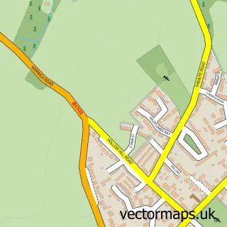
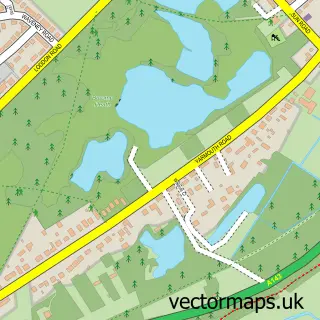
More street maps in Suffolk
750 metre map area coverage
Boundary, postcode and point of interest information for the 750m x 750m rectangle centred on this sample map.
Boundaries containing map centre
Constituency: Waveney Valley Co Const
County: Suffolk County
District: East Suffolk District
Icb: NHS Norfolk and Waveney ICB
Parish: Bungay CP
Police Force: suffolk
Postcode District: NR35
Postcode Sector: NR35 1
Ward: Bungay & Wainford Ward
Nearby boundaries intersecting sample
County: Norfolk County
District: South Norfolk District
Parish: Ditchingham CP, Earsham CP
Police Force: norfolk
Postcode Sector: NR35 2
Ward: Ditchingham & Earsham Ward
Postcode coverage
POI category counts
Retail: 10
Flowers And Gifts Shop: 8
Hair Salon: 8
Pub: 8
Cafe: 6
Beauty Salon: 5
Real Estate Agent: 5
Arts And Crafts: 4
Convenience Store: 4
Accountant: 3
Sample points of interest
- J P Webster Ltd.
- Larking Gowen
- Van Dijk Accountants Limited
- Holy Trinity Bungay
- St Mary's Church
- RSPCA
- Break Charity Shop
- No 4
- Cork Brick Antiques & Gallery
- The Bell Gallery
- Ere We Bee Crafts
- Moth Crafts
Create a larger editable map of Bungay
This sample shows only a 750 metre area. To create a larger map of Bungay, use our map builder to choose your own coverage area, add titles and download editable SVG, PDF and PNG files.
Create a custom map of Bungay